Sky Pilot via Sea to Sky
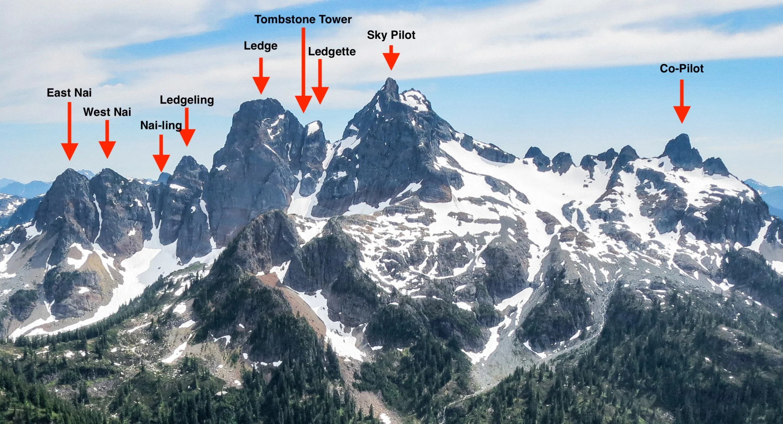
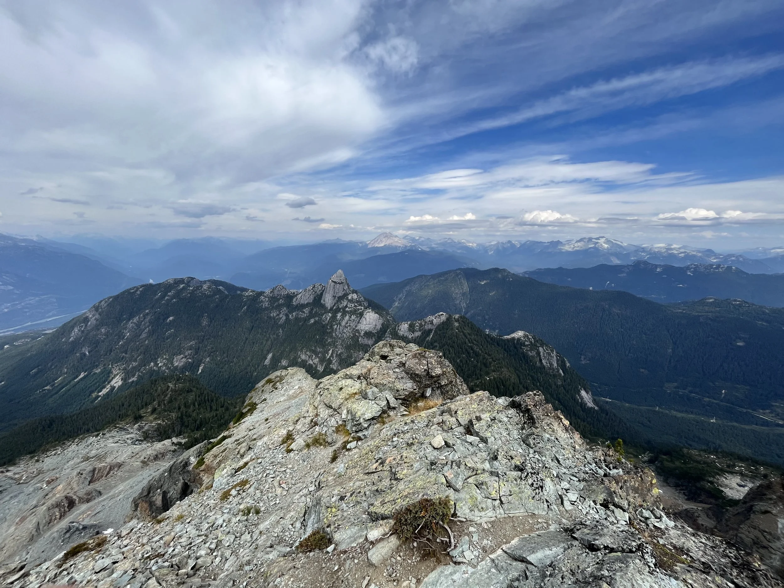
The Sky Pilot group near Squamish, BC
Disclaimer: This one will be more of a trip report for people who wants to attempt (sorry for the lack of good pictures)
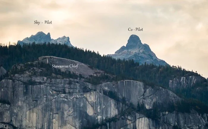
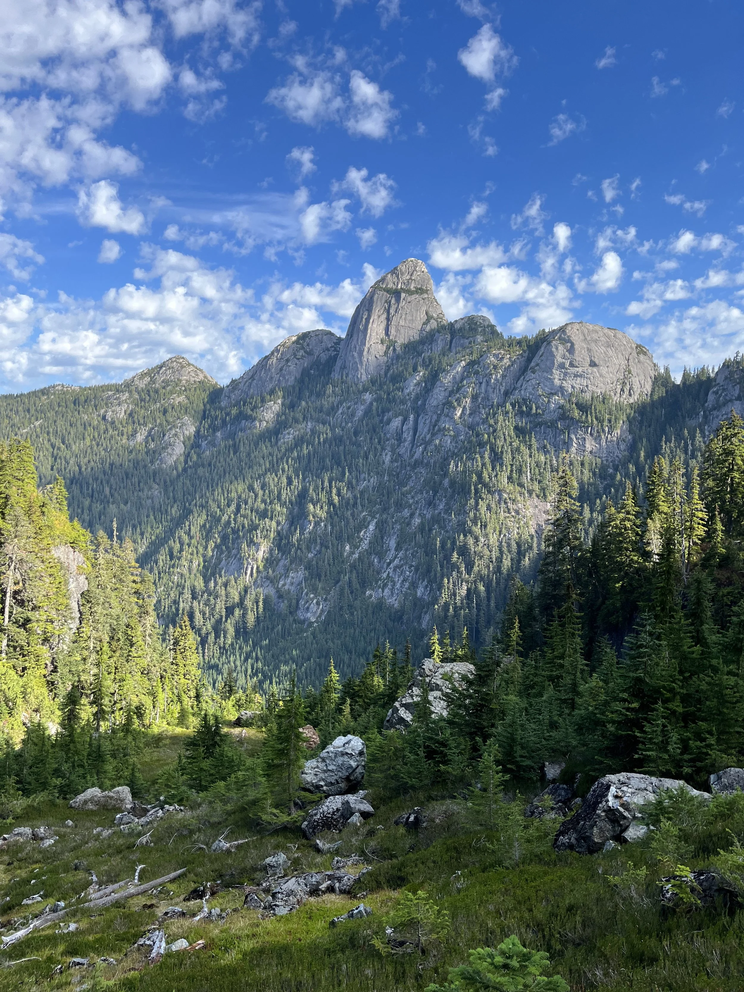
Sky Pilot is the highest peak among the Sky Pilot group on the Sea to Sky corridor near Squamish. The first time I learned about Sky Pilot mountain was when I was in a car near Squamish and saw this triangular-shaped jagged peak looming behind the Chief. I was captivated and later learned that this beauty is in fact Sky Pilot (love the name).
After some further research it appeared that this is not a “hike” but a mountaineering objective that involves, rock fall hazards, a small glacier crossing, some serious, sustained scrambling and a bucket load of elevation gain. After gaining lots more scramble experience in the north shore mountains and in Garibaldi, combining with endurance-specific training I finally felt I was fit enough to give it an attempt.
The Chief for scale…
So when ultramarathoner Linda, Ellen, Kraig and June (all very fit people) invited me for a summit attempt I said yes without any hesitation. However, the nervousness slowly crept up to me when the day is approaching. I have heard so much about one of the crux (most difficult part on a mountain) of the route called the pink slab and how 2 people died just a few years ago. I am relatively comfortable soloing Class 4 terrain but some people rate it as low Class 5. What’s more important is that how does one go down since downclimbing is always significantly harder. Should we be bringing ropes and rappel down? There were also 2 gullies that were said to be very exposed and people have gotten seriously injuried.
With these thoughts still on my mind, I set an alarm for 2:45AM and went to bed early Friday night.
Into the dark forest
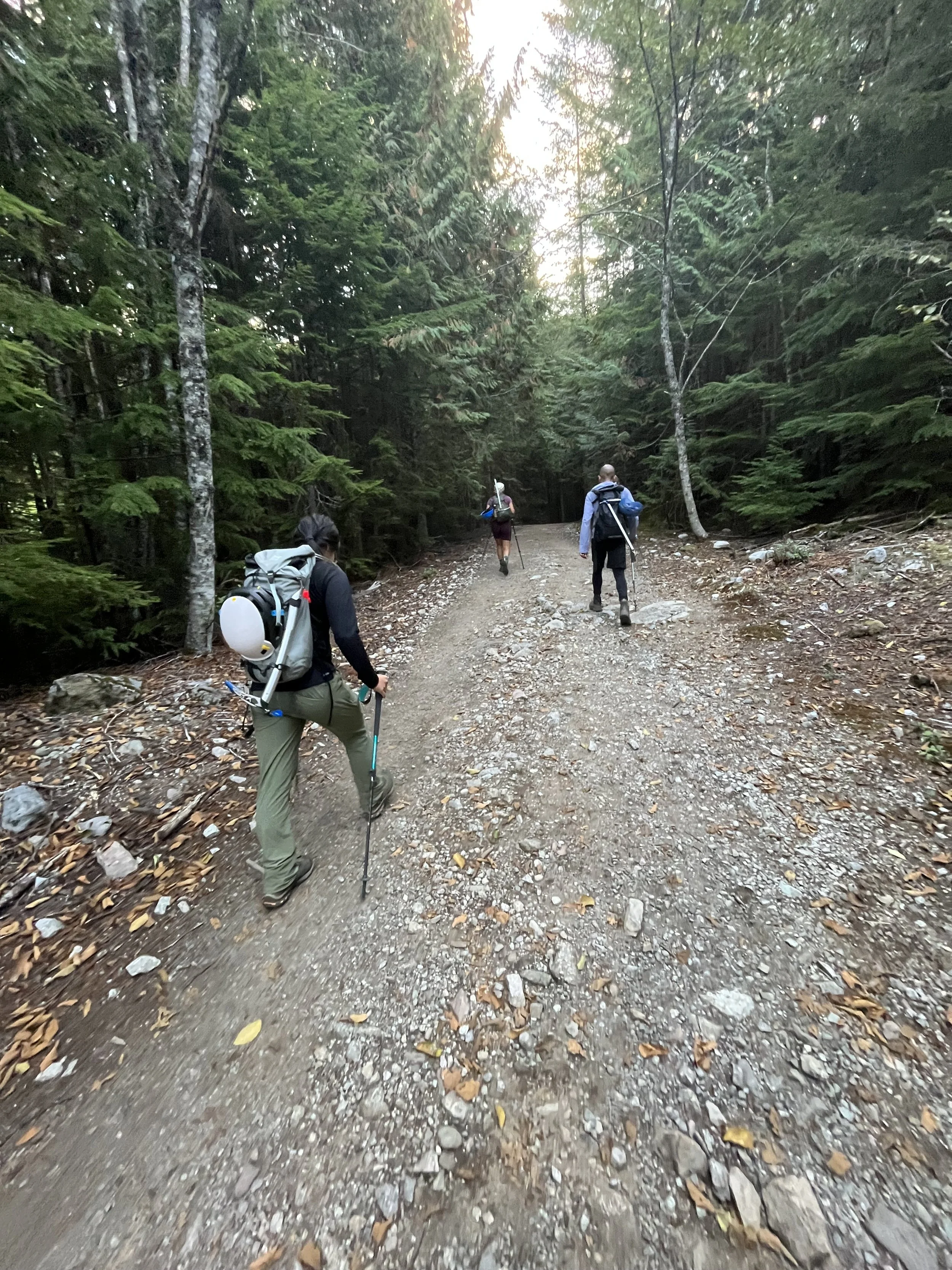
After driving on the Sea to Sky highway at ridiculously early hours just like the good old times, we arrived at the bottom of the Sea to Sky gondola. We’ve decided to do this in style and skip and gondola to gain an extra 1000m of elevation on foot. This will be my first time doing the Sea to Sky trail.
With our headlamps on, we started our long walk. I was half asleep in the car but soon enough I was woken up by a couple sets of stairs and Linda’s fast pace.
The trail was not very eventful, it was like the Grouse Grind in Squamish. Soon it got brighter and we put away our headlamps.
Typical terrain on the Sea to Sky trail
After about an hour we got some view and took a quick water break, the sky was looking pretty with the morning lights.
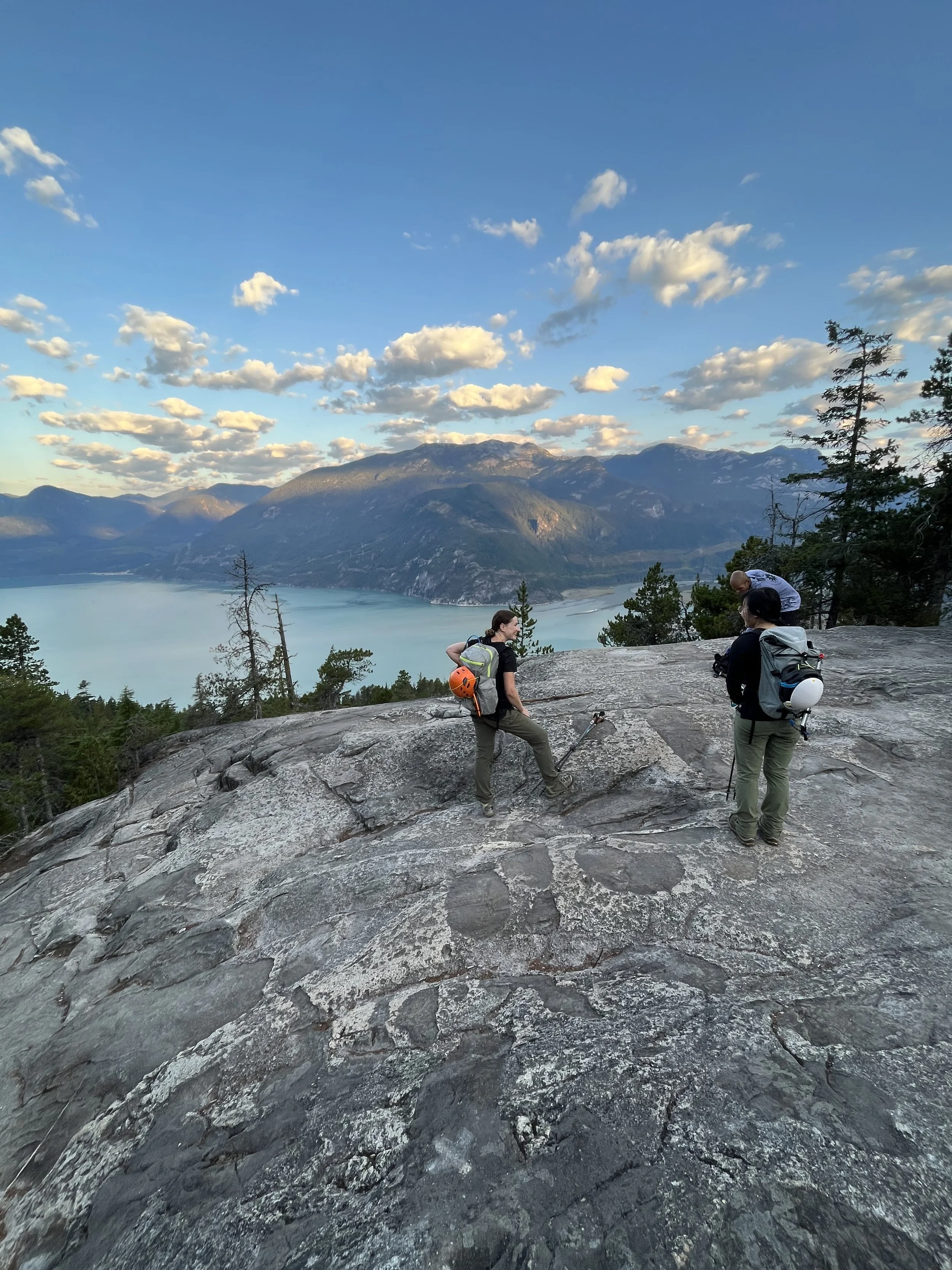
Made it out of the trees, nice views with the light and shadows on the mountains on the opposing side
Onto the logging road..
It is worth noting that if one has a 4x4 truck, they can drive up to this point and skip a bunch of elevation. Additionally if they brought a mountain bike this would be a way more enjoyable section. After another 15 mins we reached the top of the gondola it was still not open yet so we were the only ones there. We didn’t stop for long and kept moving forward. After the gondola station there was another 2.5 km of logging road that was extremely boring and flat. It felt like a walk in the park on the way up but I knew this would be exhausting when we were heading back.
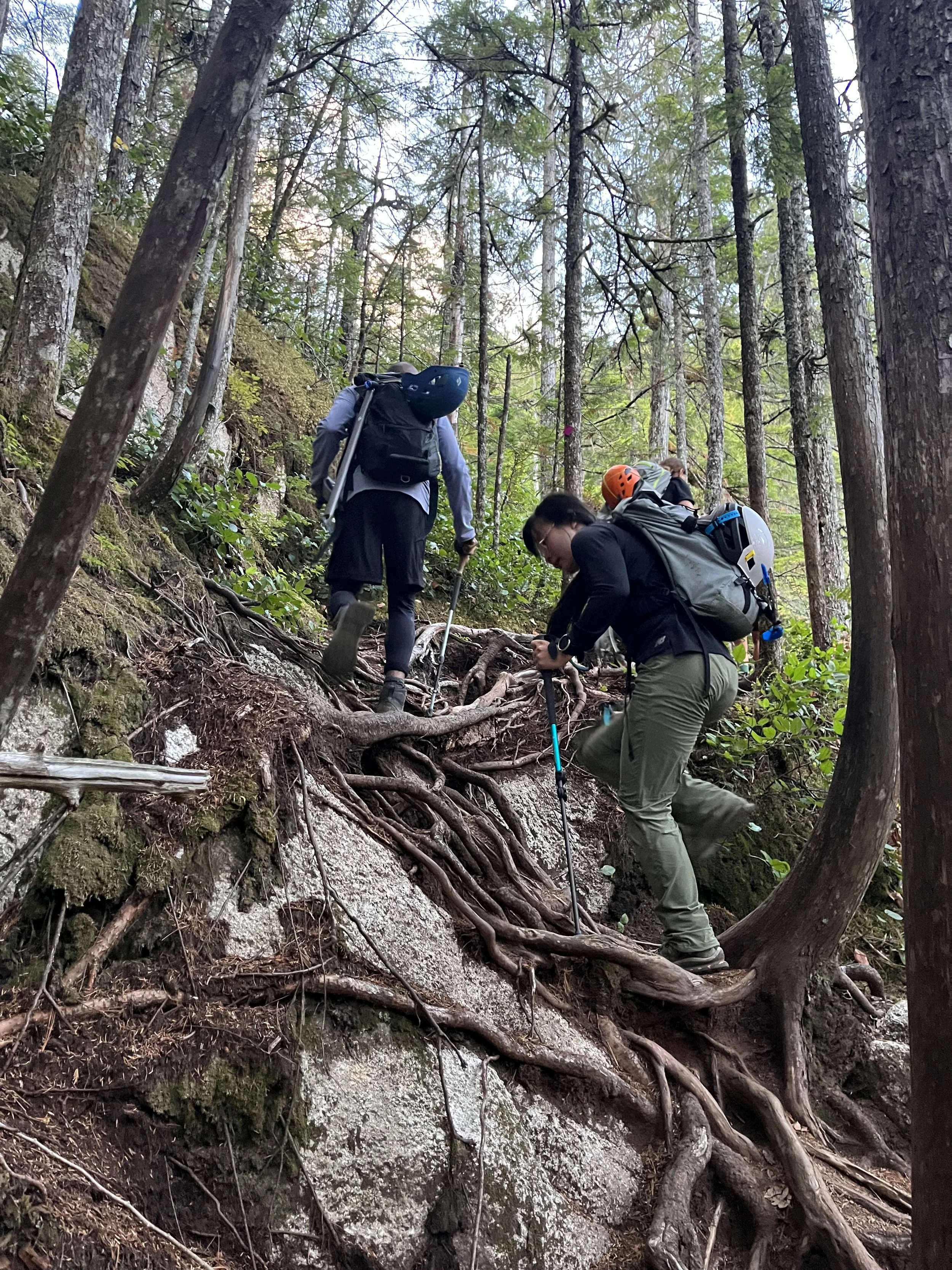
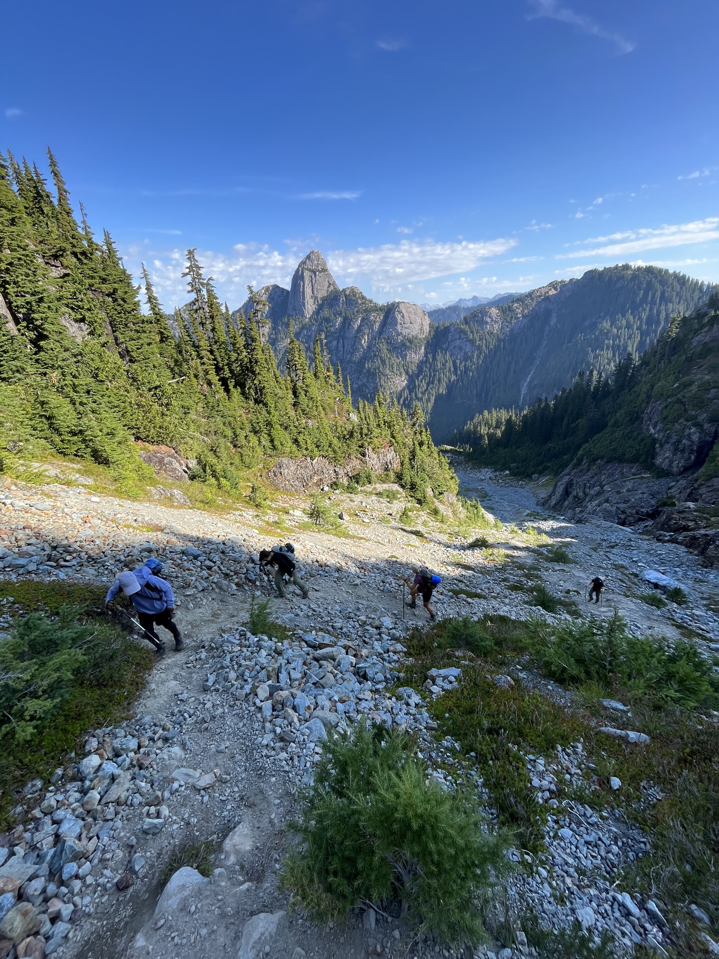
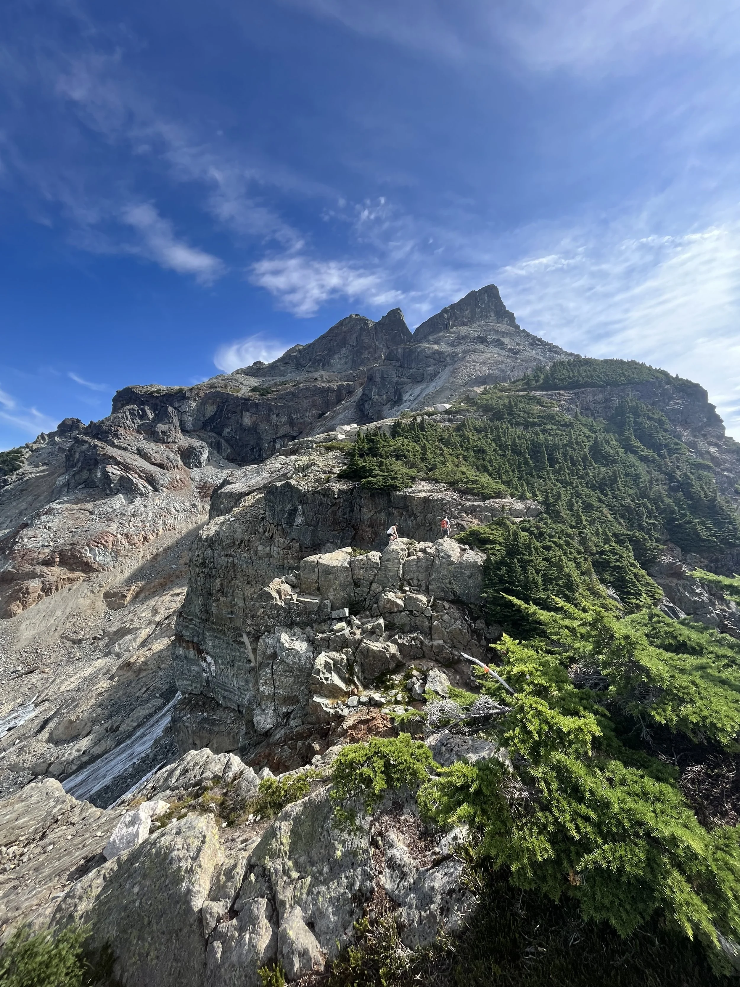
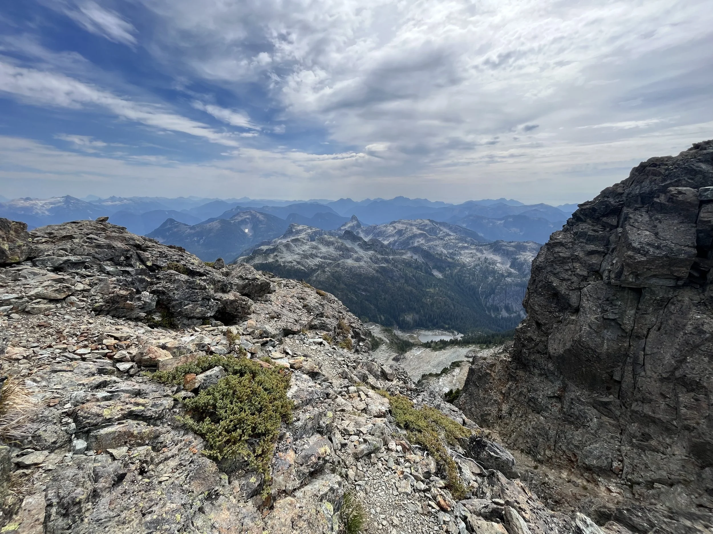
After the logging road the trail goes into the bushes and we yelled “hey bear” constantly. It was another hour of slog up over a pass in the trees and nothing much worth documenting but atlast we escaped the trees and reached the rock basin.
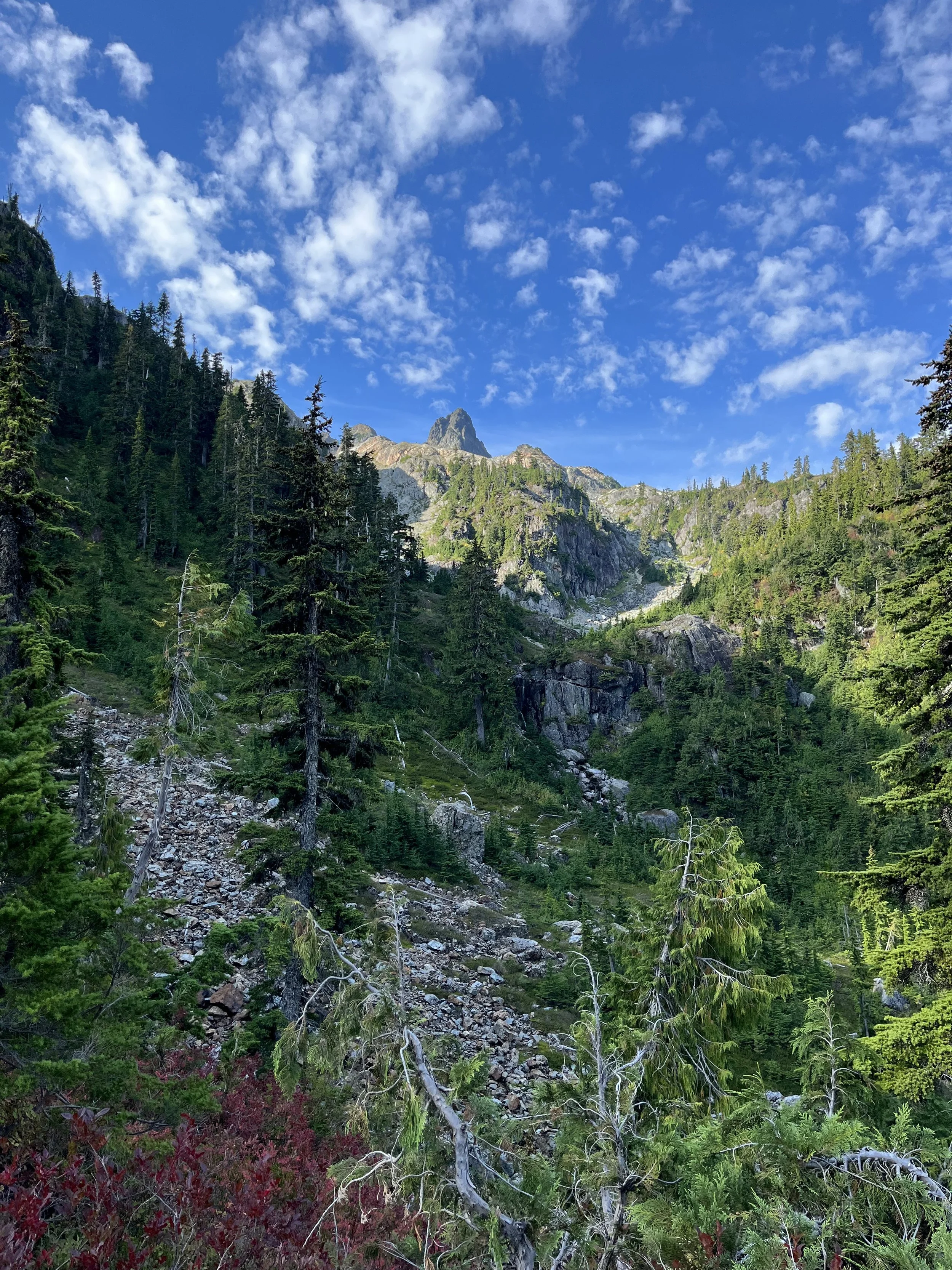
Almost at the end of the forest slog, getting our first look at Co-Pilot
Looking back at Mount Habrich, now I want to climb it…
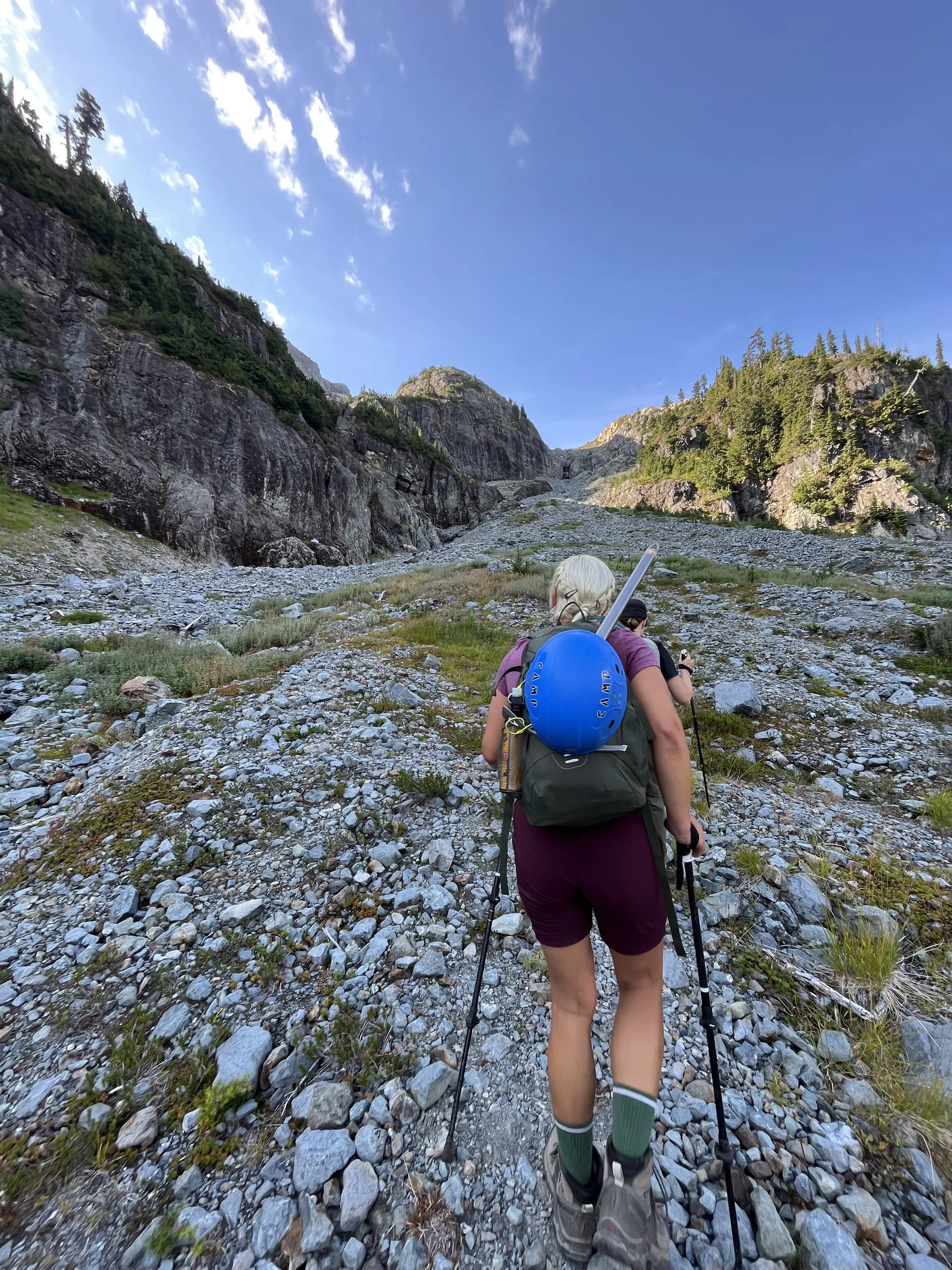
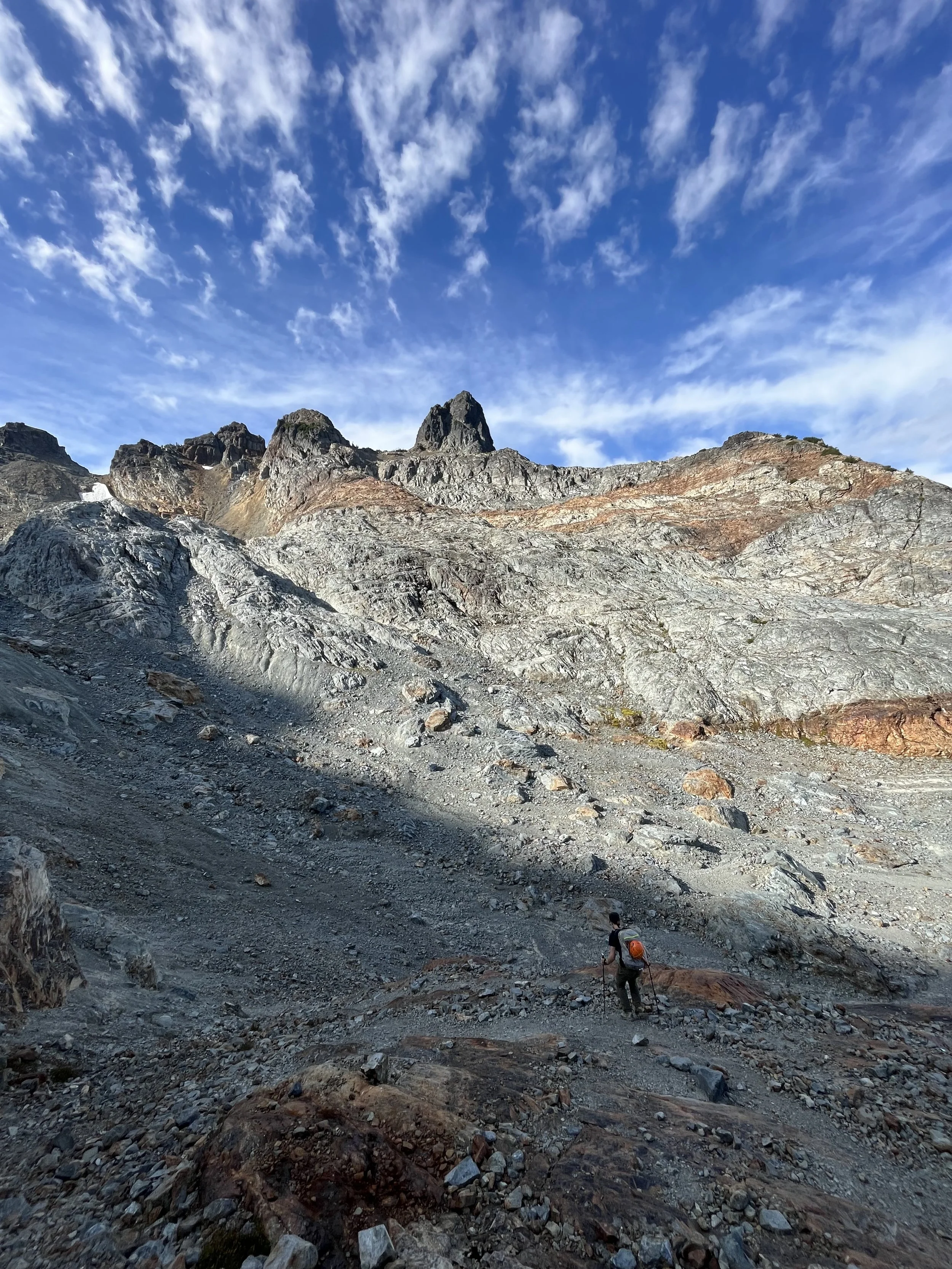
Linda and Ellen leading the way up from the rock basin, the trails are a bit hard to follow here
Up the loose scree slope, Mount Habrich is such as sexy peak
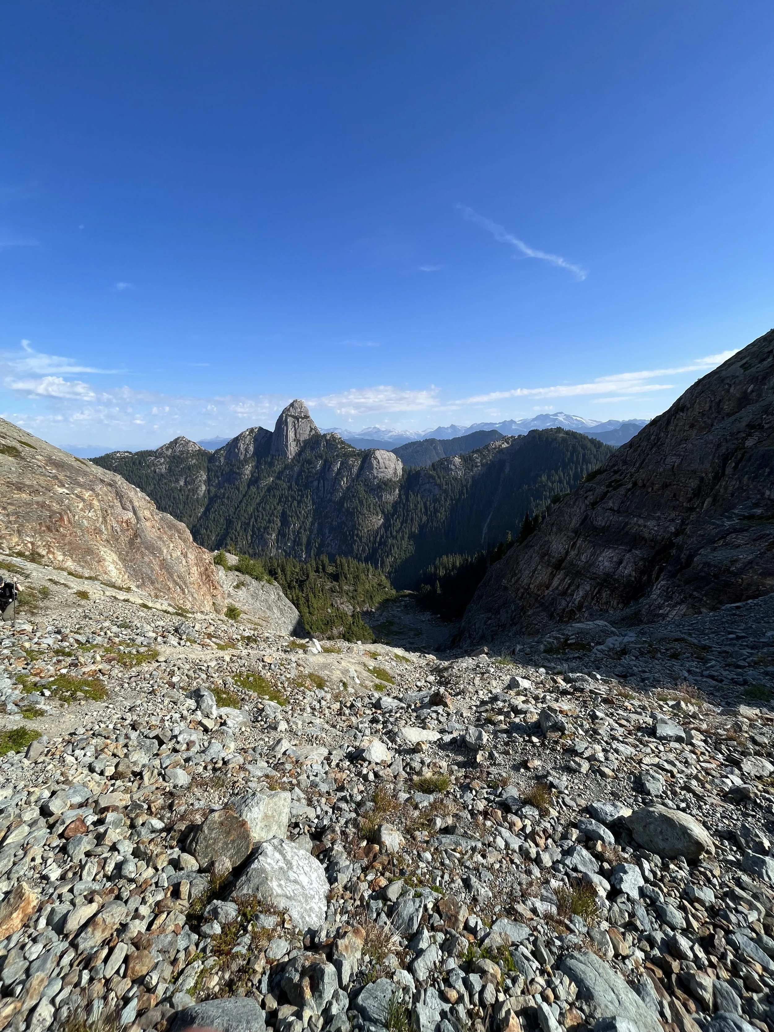
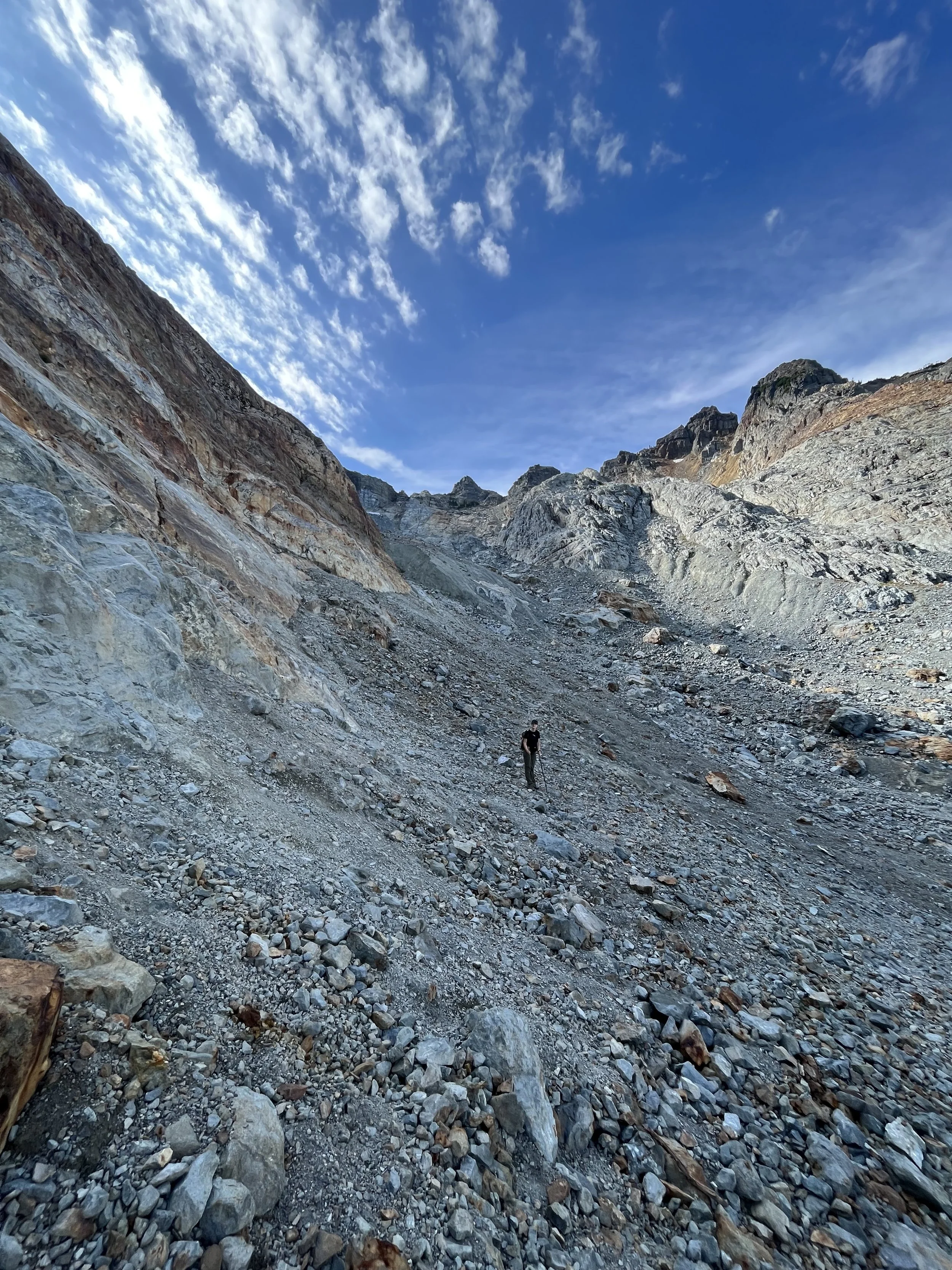
Top of the scree slope, looking back
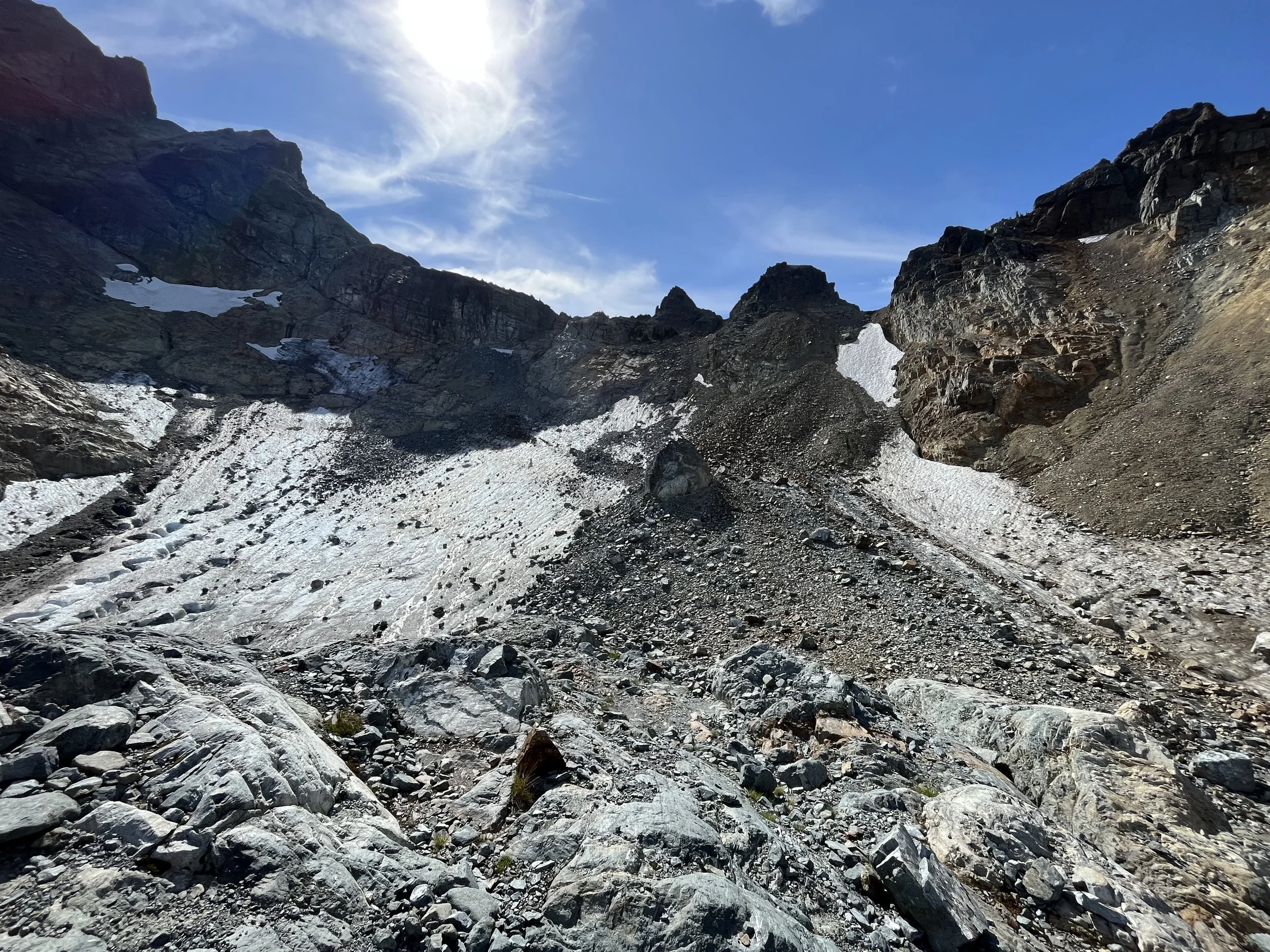
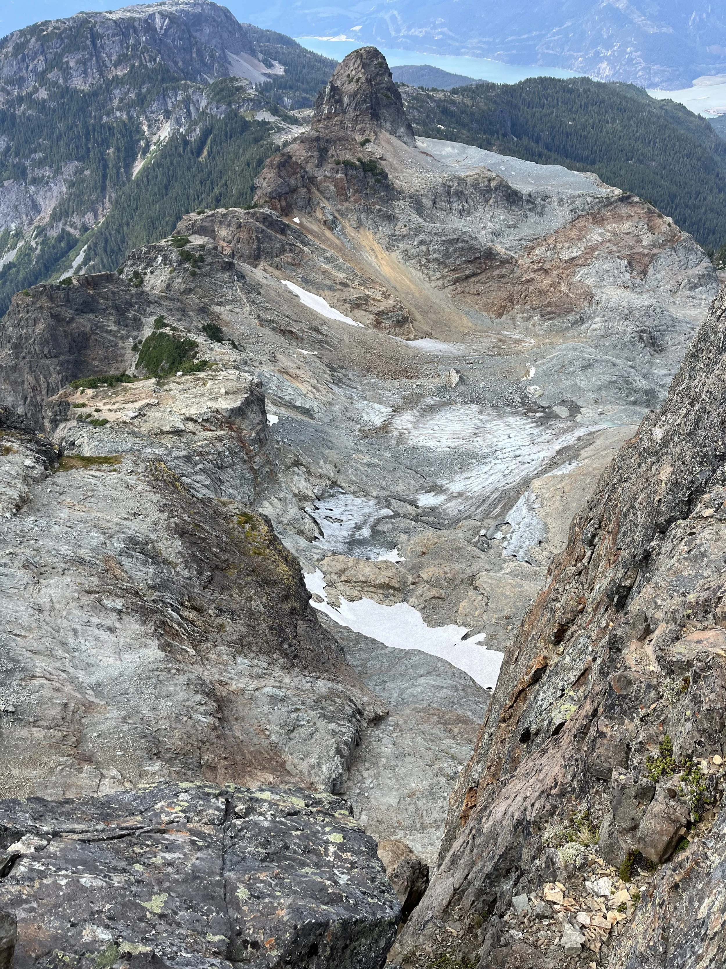
approaching the glacier (note that this place was filled with glacier 50 years ago, climate change has taken a toll…)
It would appear that the glacier has receded rapidly and one can only imagine how spetacular this valley must have looked a number of years ago. Looking at the remnant of what was left, we were all a bit sad.
This whole place used to be filled with blue ice
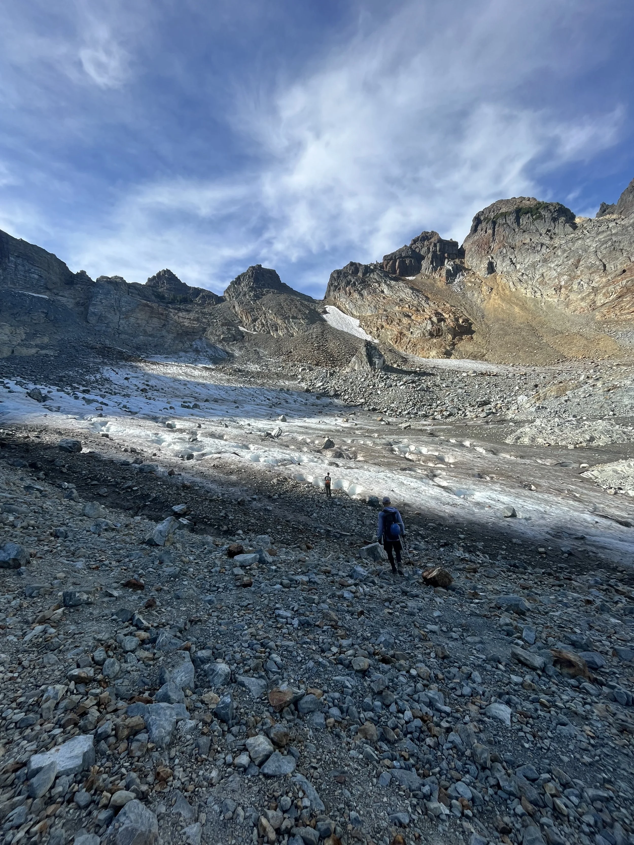
This is what is left
We were astonished by the state of the glacier because all the trip reports that I have read indicated that there was still snow left, which would make ascending the glacier much easier. I was never expecting to see it being so dry and covered in fallen rocks. Some are car sized and this entire area is like a bombing zoom.. We geared up and tried to go for the route in Matt Gunn’s guidebook but soon realized that it was a bit too dangerous as it would involved some ice climbing due to the naked ice with no snow on it. None of use had experience in that kind of terrain so we back tracked and decided to evaluate the situation.
Just when we were looking up at the mountain figuring out the best way up the glacier, a table-sized boulder just dislodged from the mountain and smashed down to the glacier close to where we were before. There was no doubt that if we would be totally smoked if that were to hit us. In the next 15 minute there were 3 big rocks coming down the mountain and creating mini rock slides. I started to get a bad feeling from the mountains as it is almost like she’s saying “today is not the day”. After a very long discussion with the group and re-evaluation of the terrain I decided to turn around.
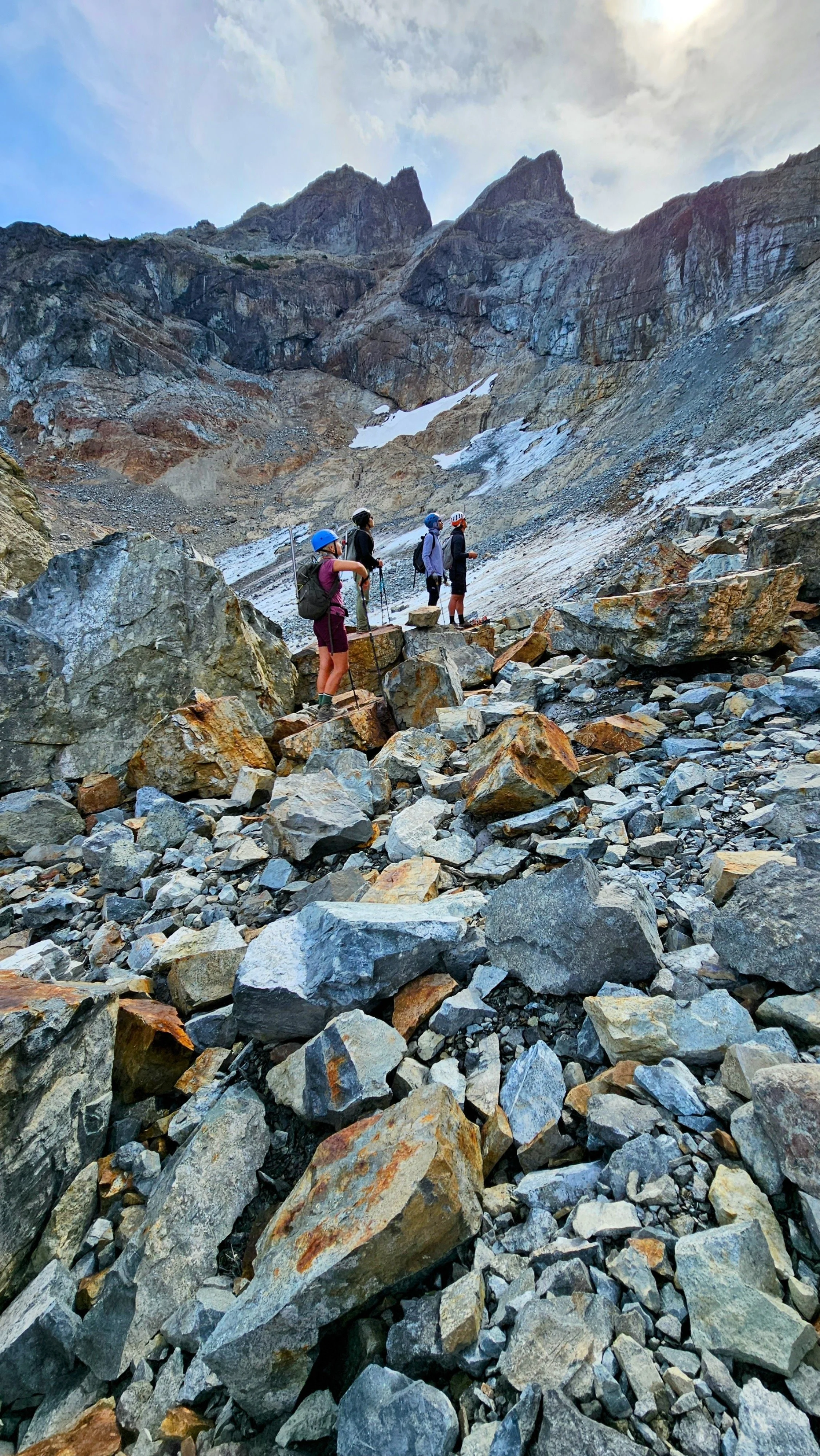
Evaluating the situation
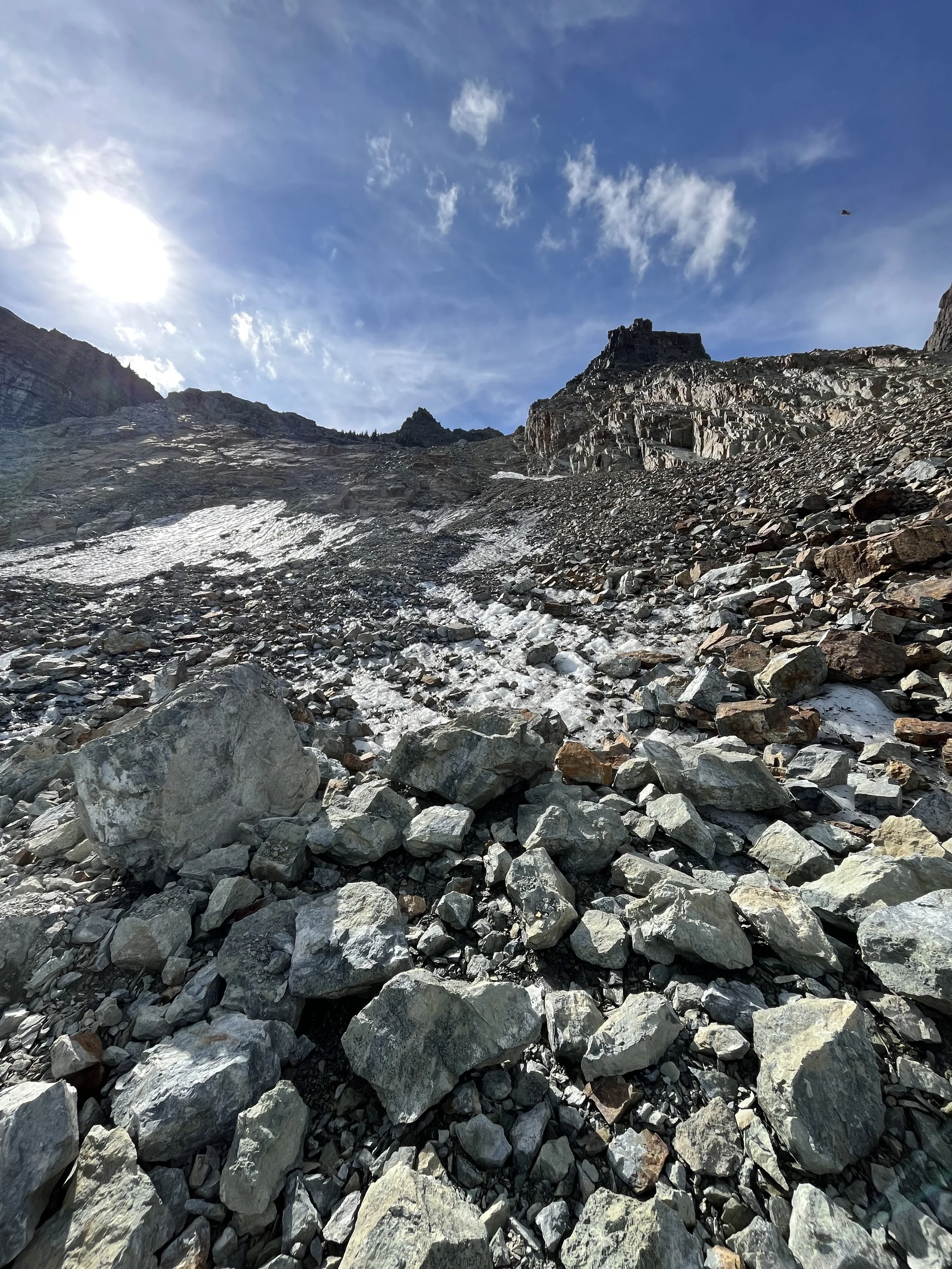
Everything is loose
All the fallen rocks..
Just when we decided to turn around, those who took the 8:30 gondola up caught up to us. I had a conversation when one of the people who has summited before and he appeared to know the routes. I said fuck it let’s try again and Kraig was also onboard. Linda, Ellen and June said they will head down and wait for us at the gondola (It was a good idea not to risk it) so we parted ways.
On top of the glacier, through the sketchy part
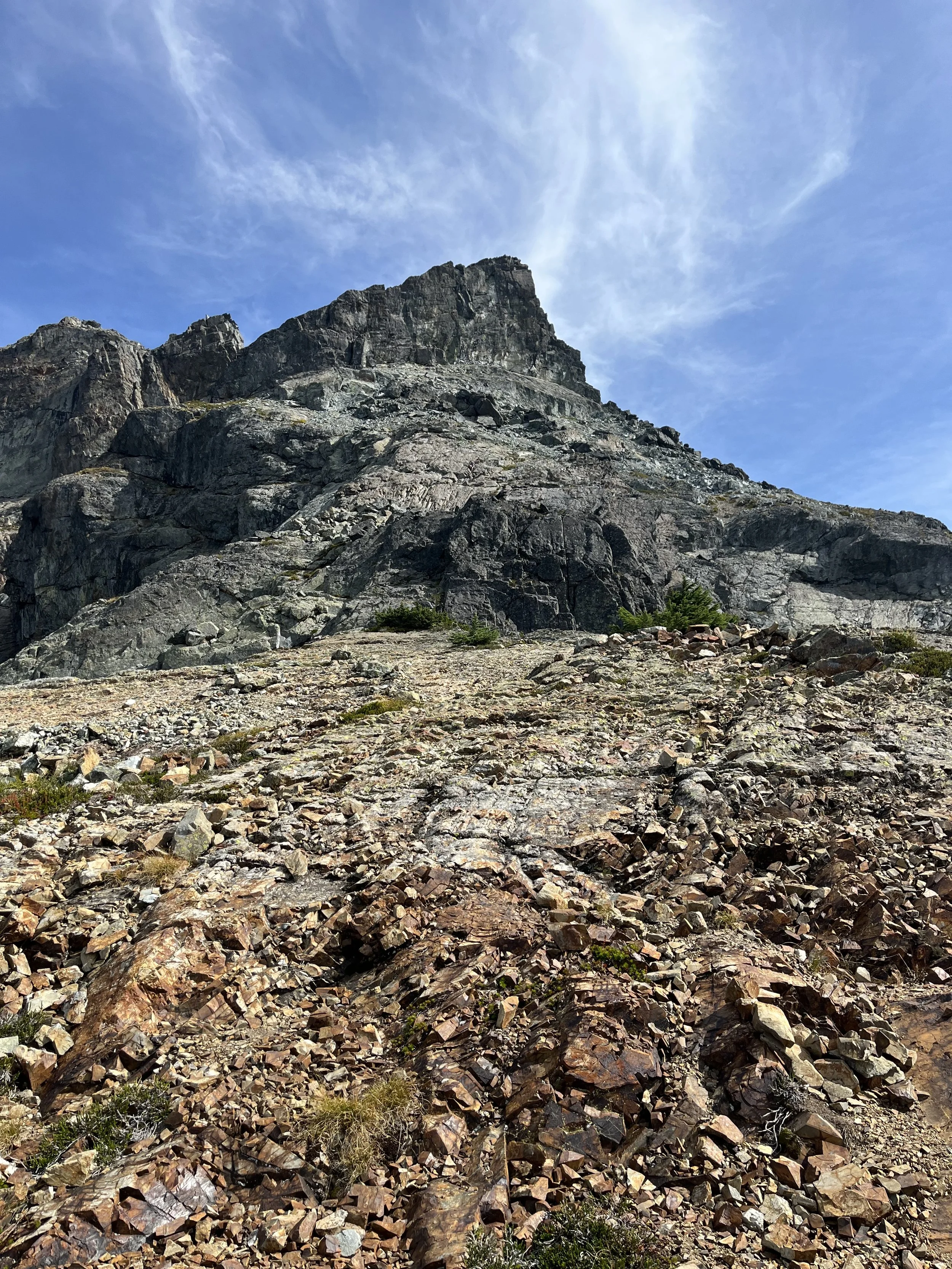
First close-up look at the summit
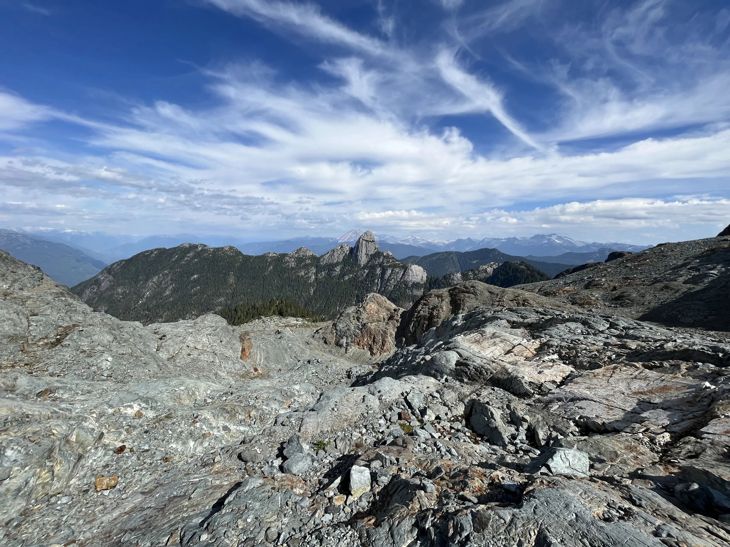
Looking back
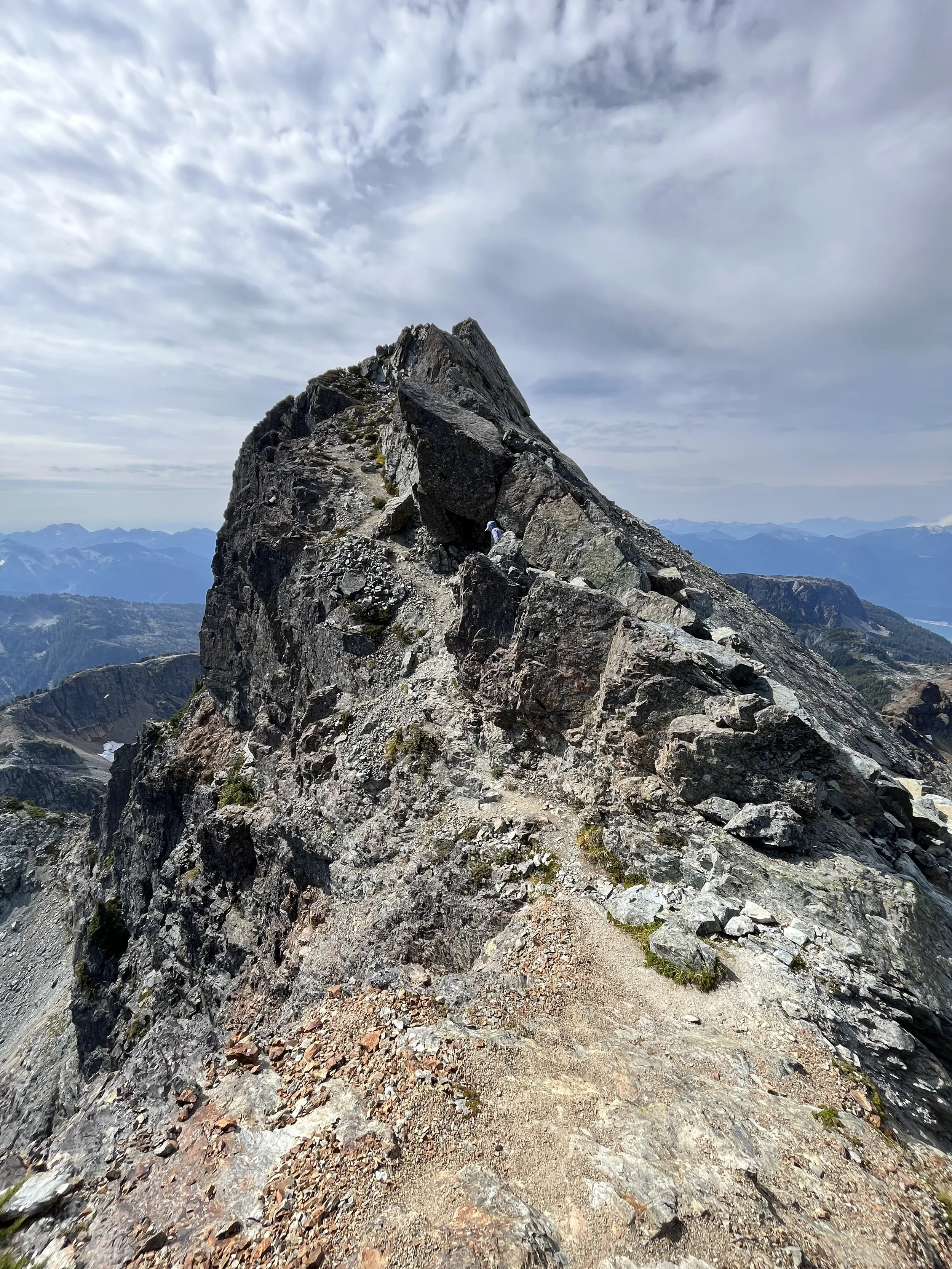
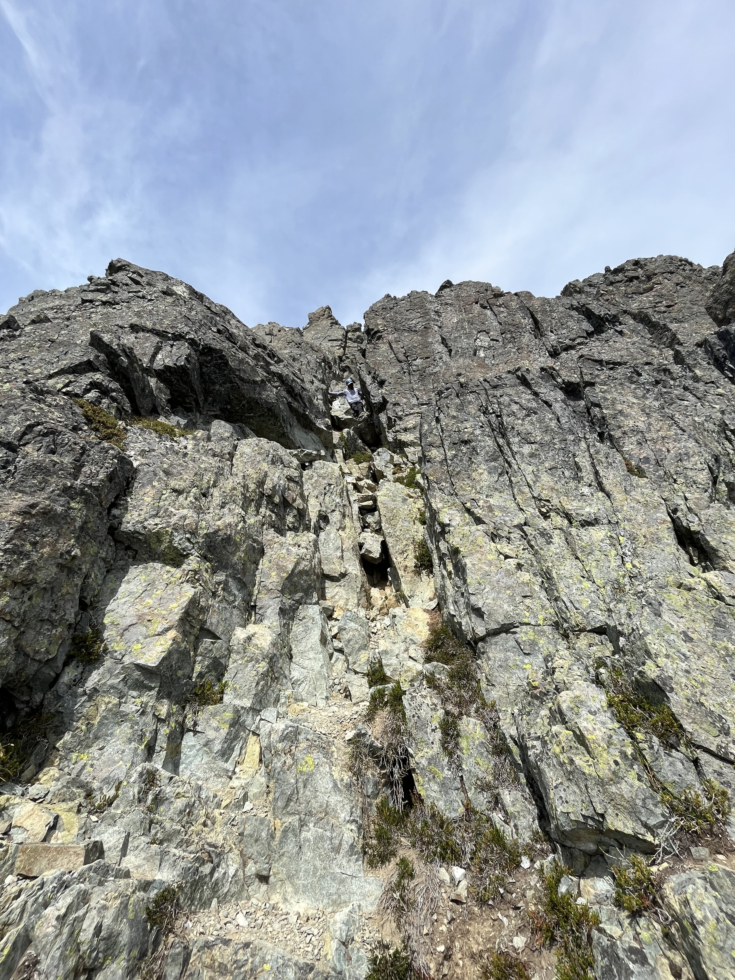
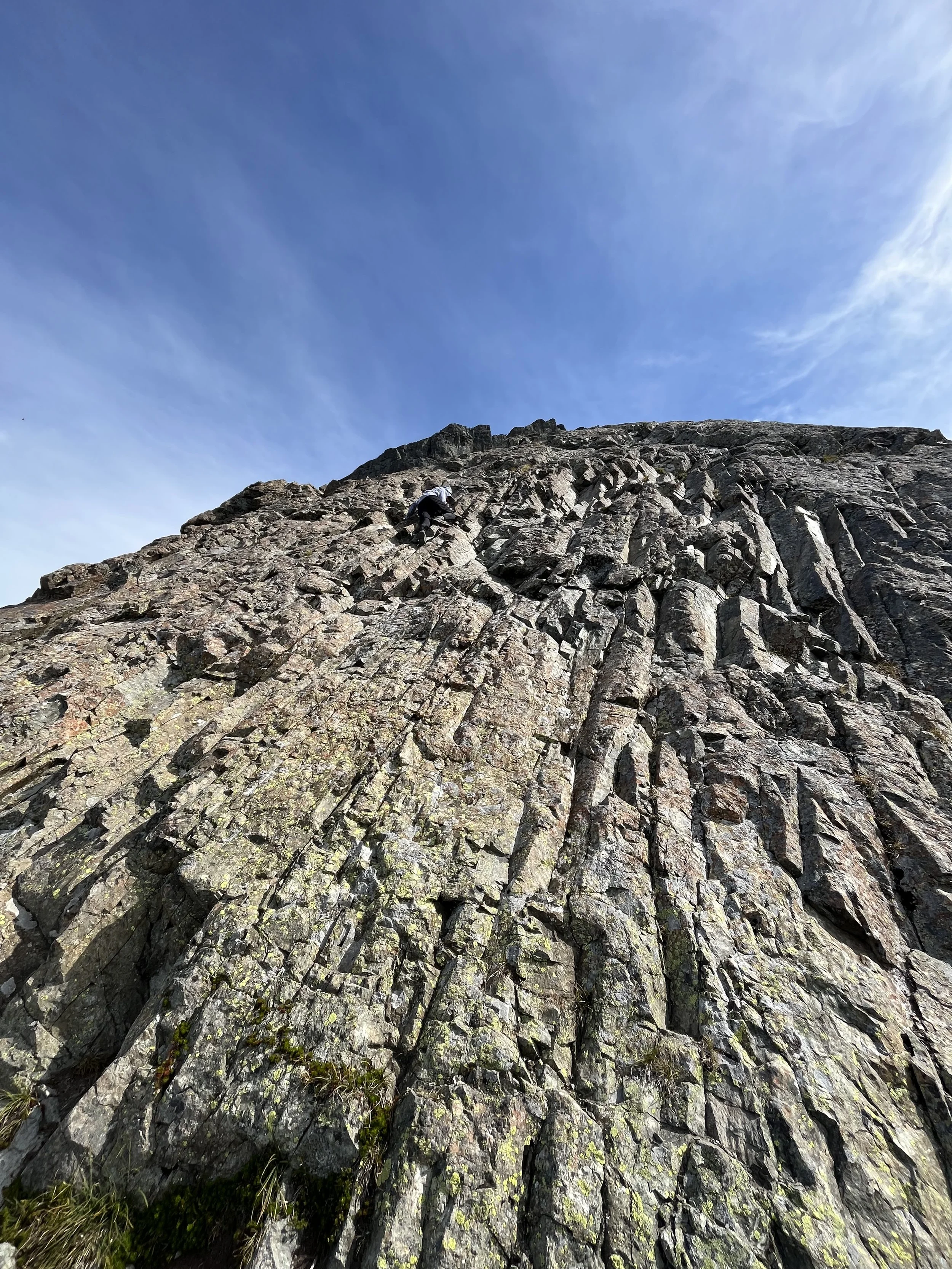
There were no pictures taken during the ascend of the glacier as we were all trying to move fast through the rockfall zone. It turned out that it would be the most sketchy part of the day and I was glad that someone else led the way. I learned my lesson that loose rocks are not to be trifled with. We then moved quickly on the ridge and not long later we reached the infamous “pink slab” — a rock wall that’s about 20m high.
I was pleasantly surprised by how much better it looked as I had thought it would be so much worse. I knew we would reach the summit in around 45 minutes from here so I ditched. It was a very fun scramble and there were good holds although sometimes you have to trust the feet. I would describe it as “High consequence but easy” as in it’s very hard to fall but a fall will definitely have serious consequences. To people familiar with scrambles near Vancouver, this would be a bit harder than the West Lion and the Black Tusk Chimney. However, I will definitely not do it when it’s even slightly wet from the rain.
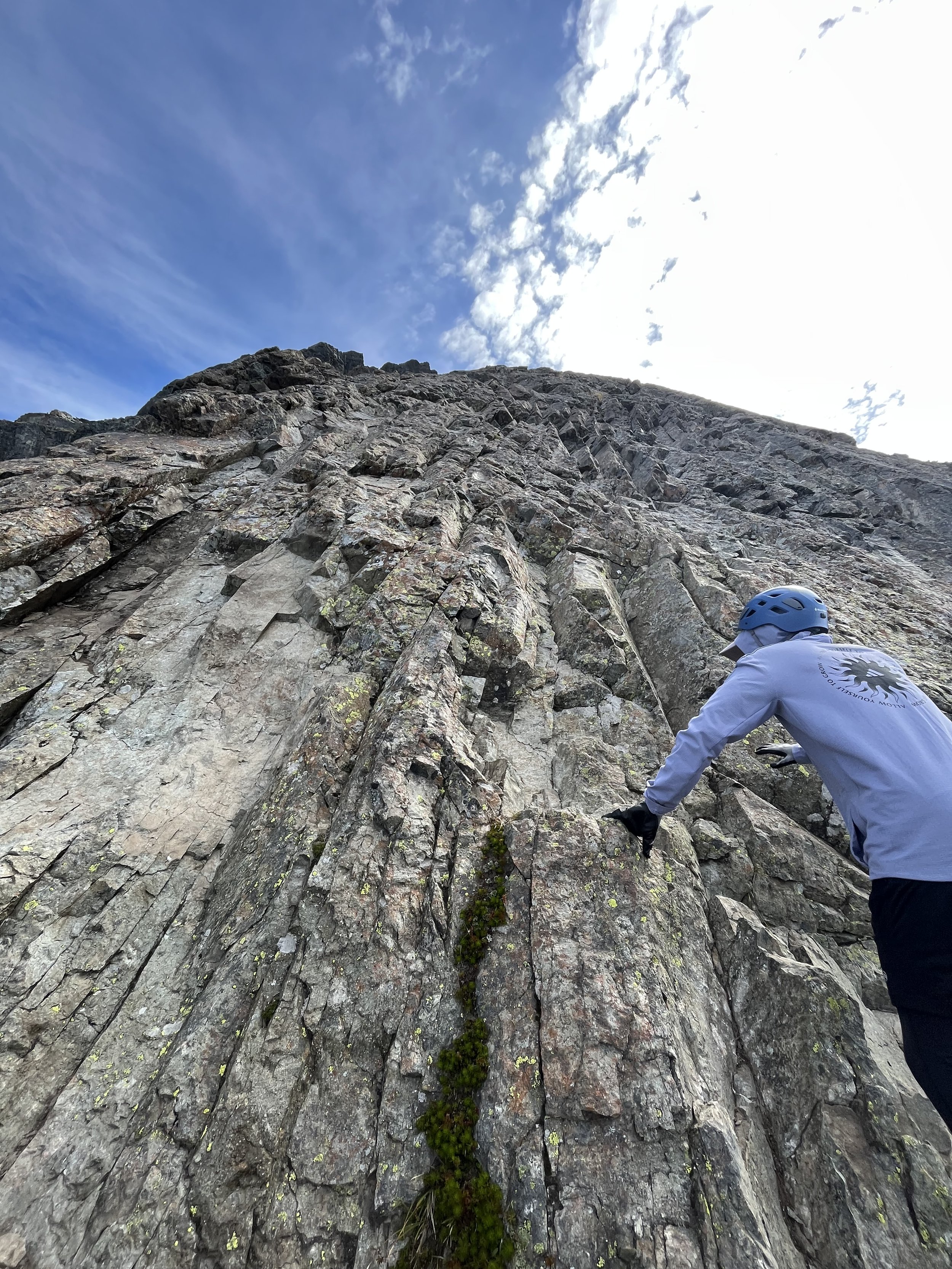
Bottom of the Pink Slab
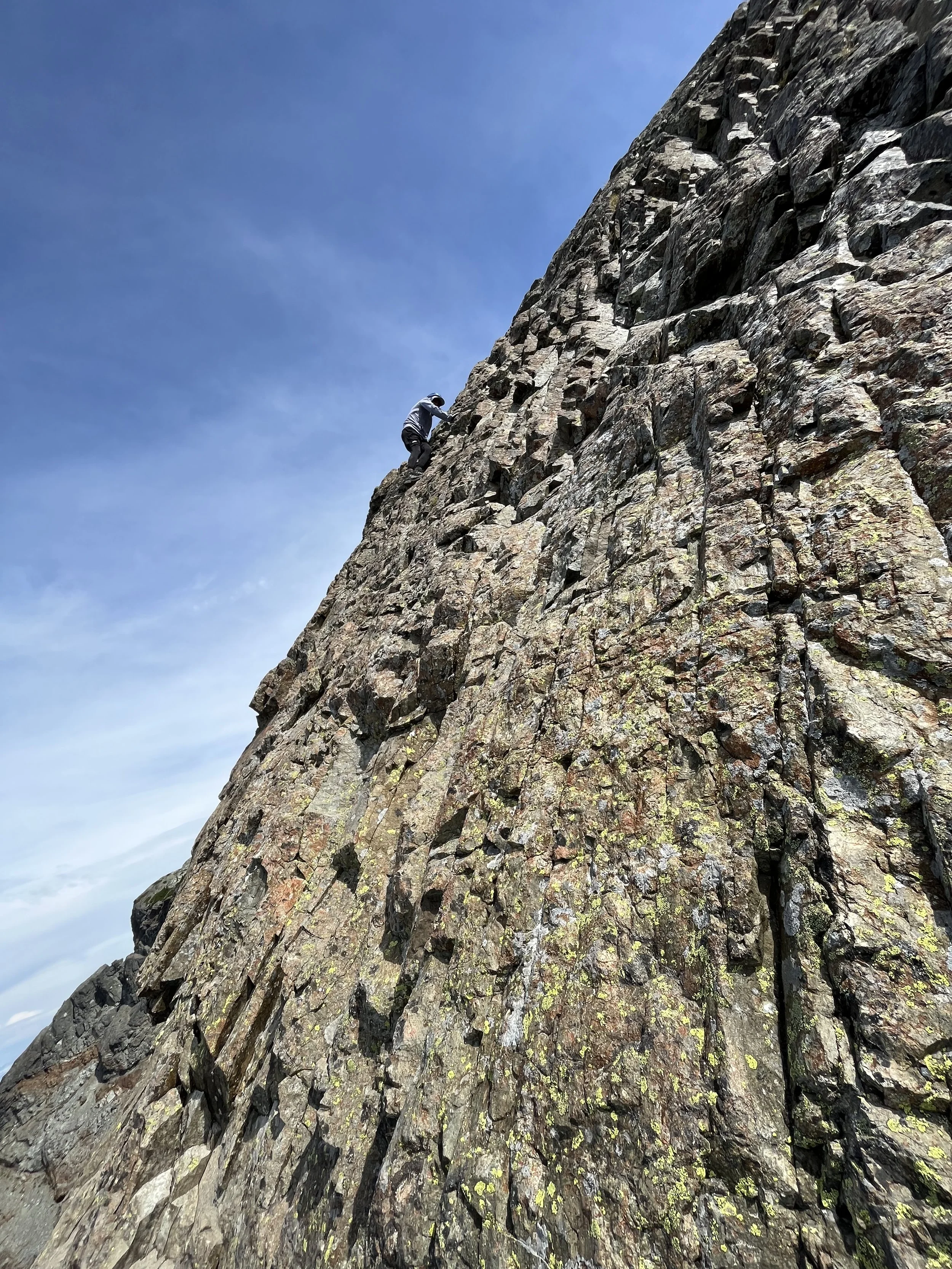
Kraig reaching the top of the slab
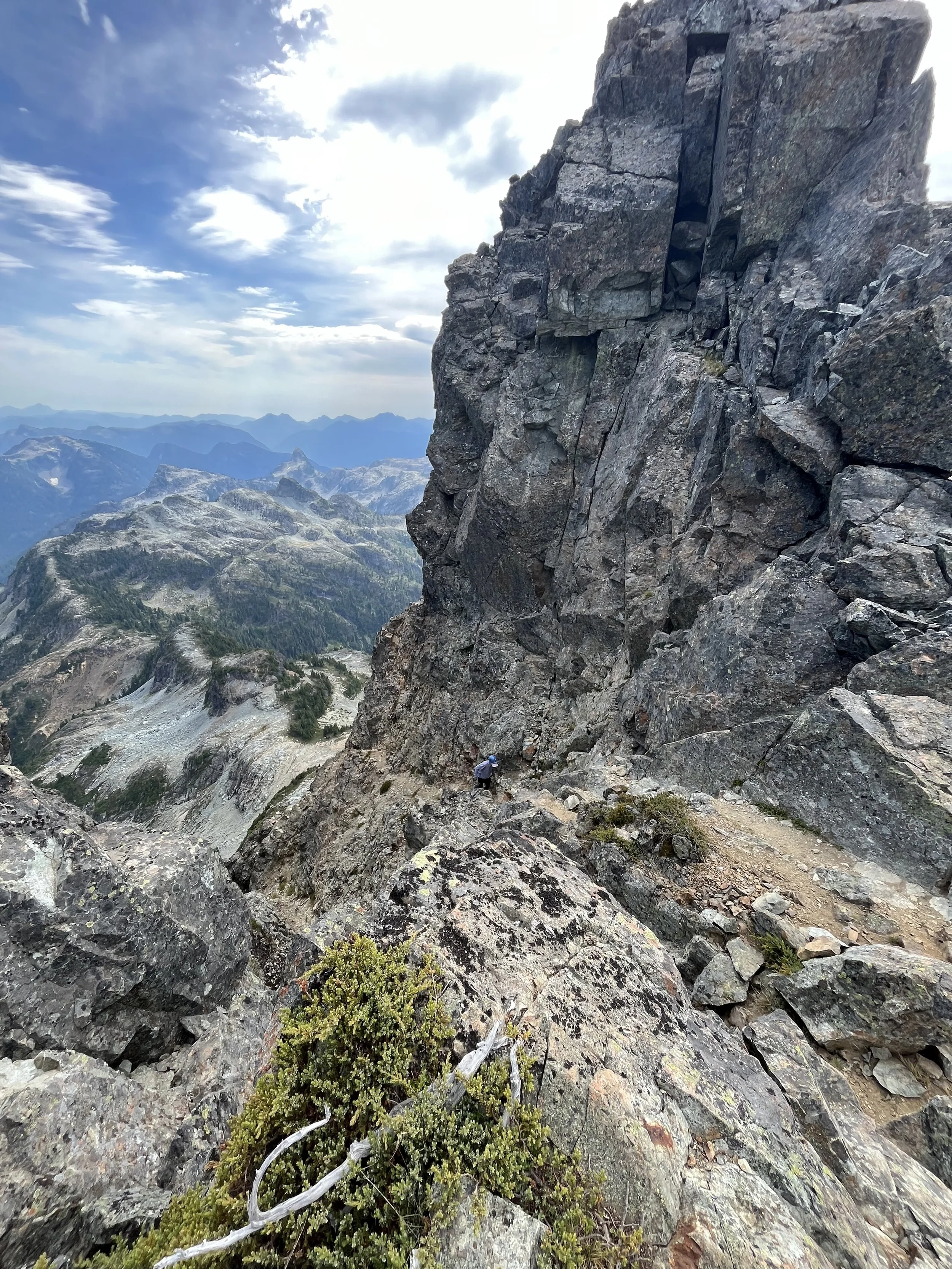
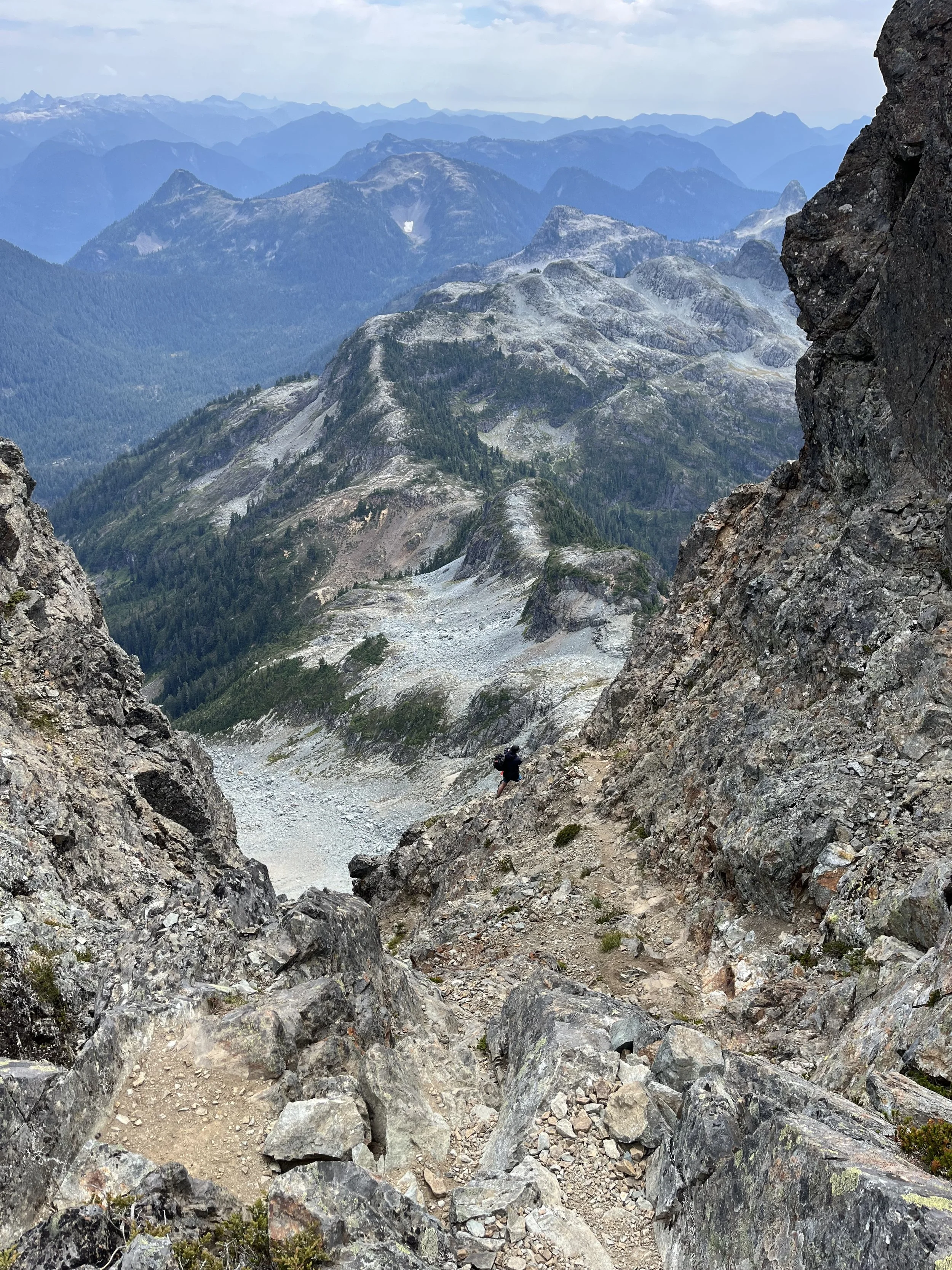
After the pink slab there were some tricky route finding. It was hard to know where one was supposed to go as there was no obvious trails. The occasional cairns were very helpful.
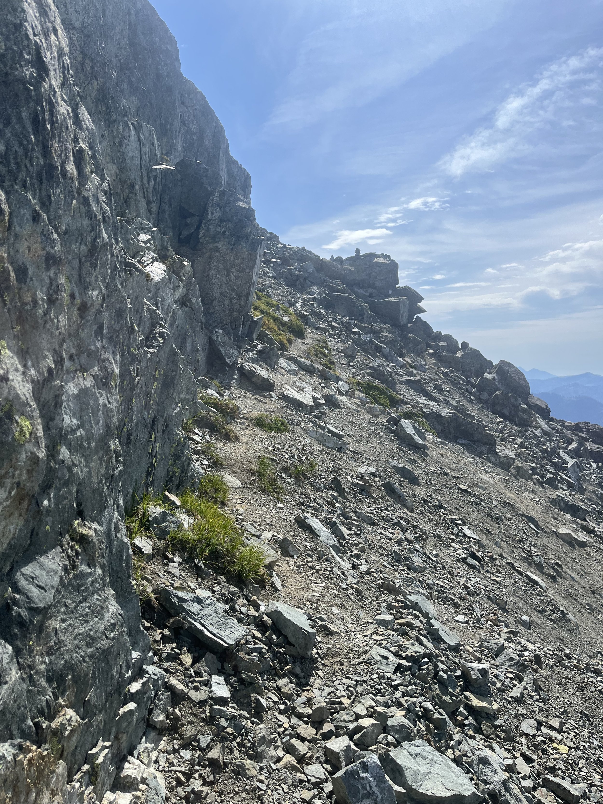
Found the cairn
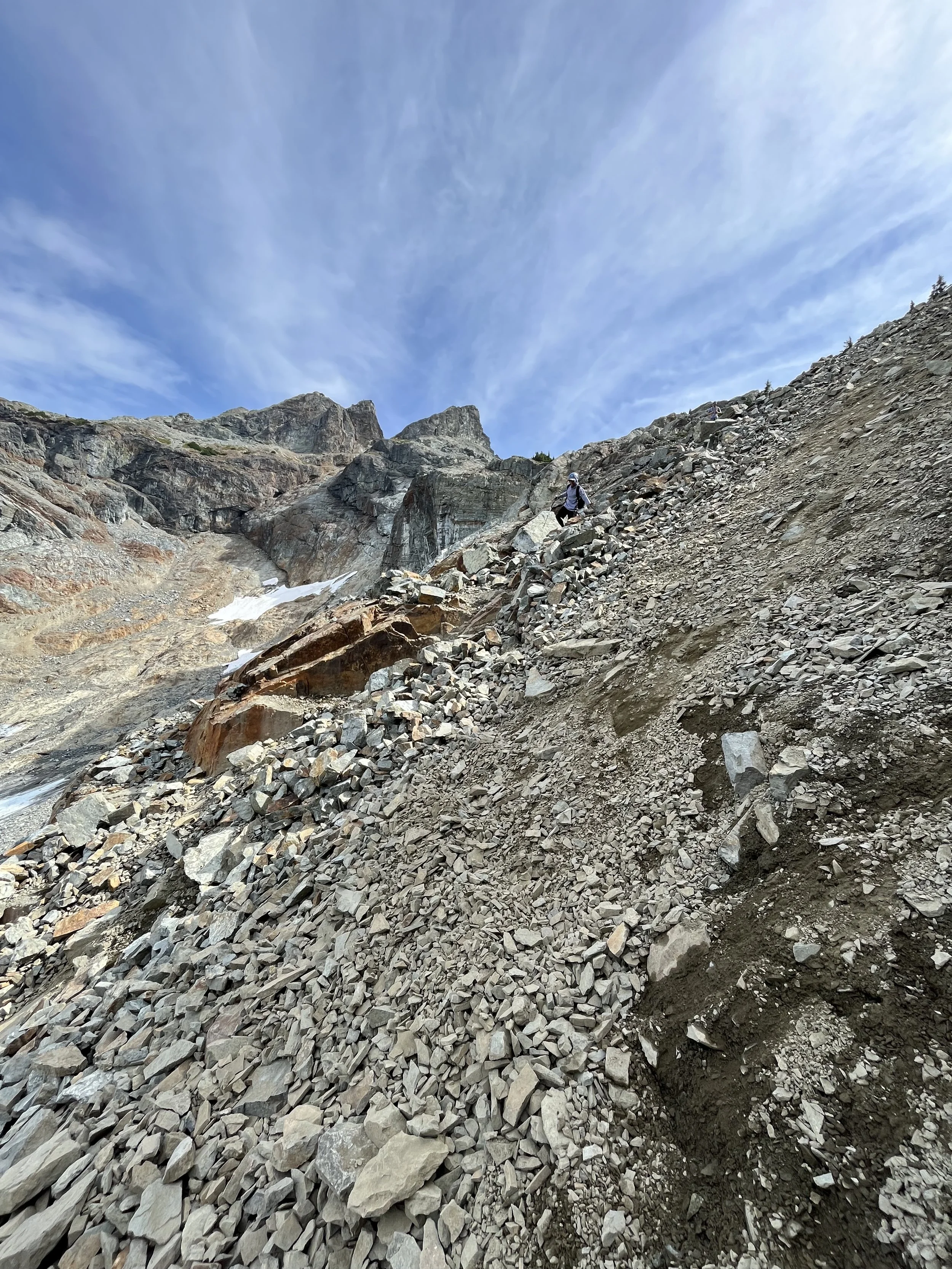
Most of it was scrambling up loose rocks, we were quite high up at this point
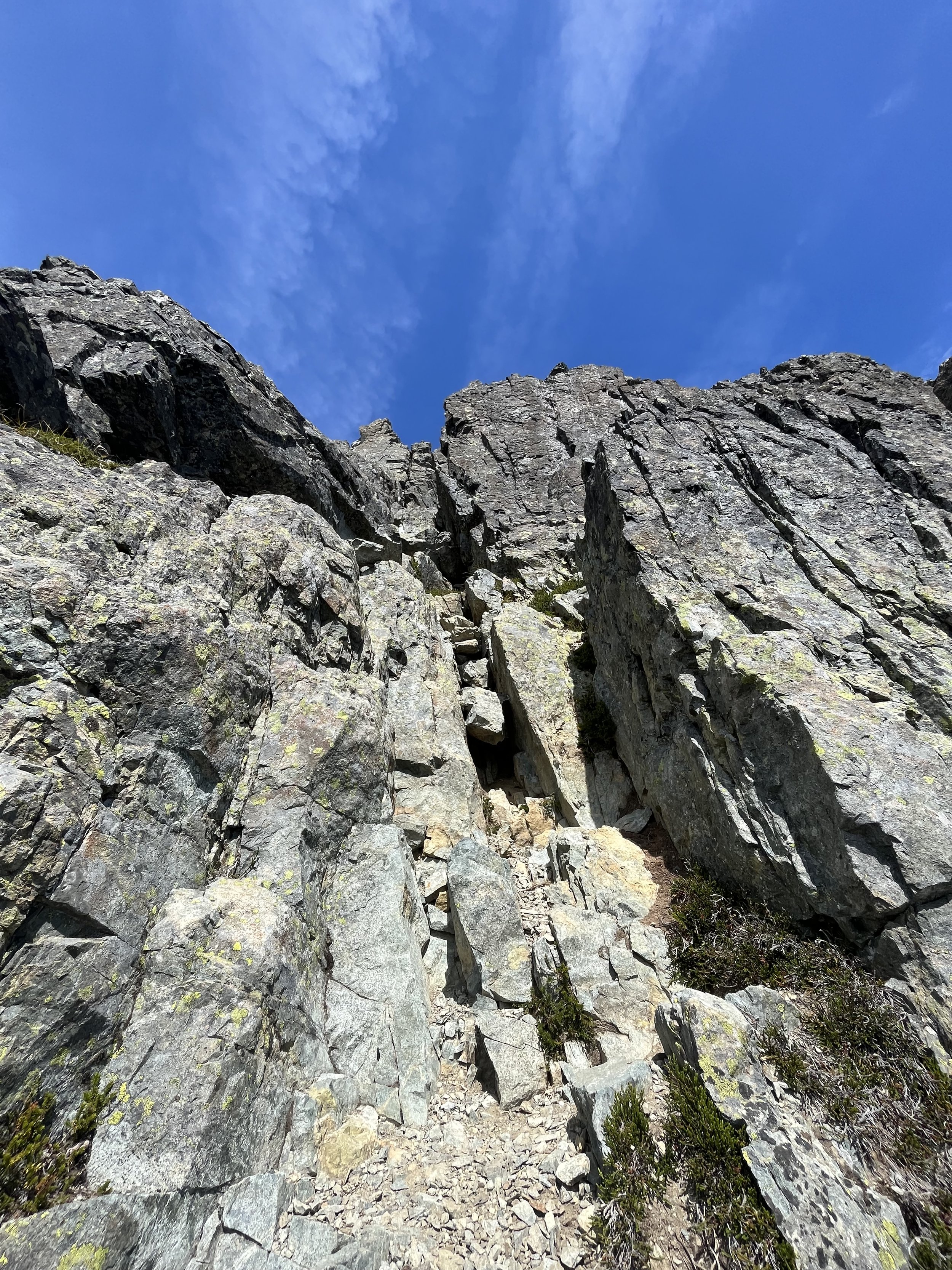
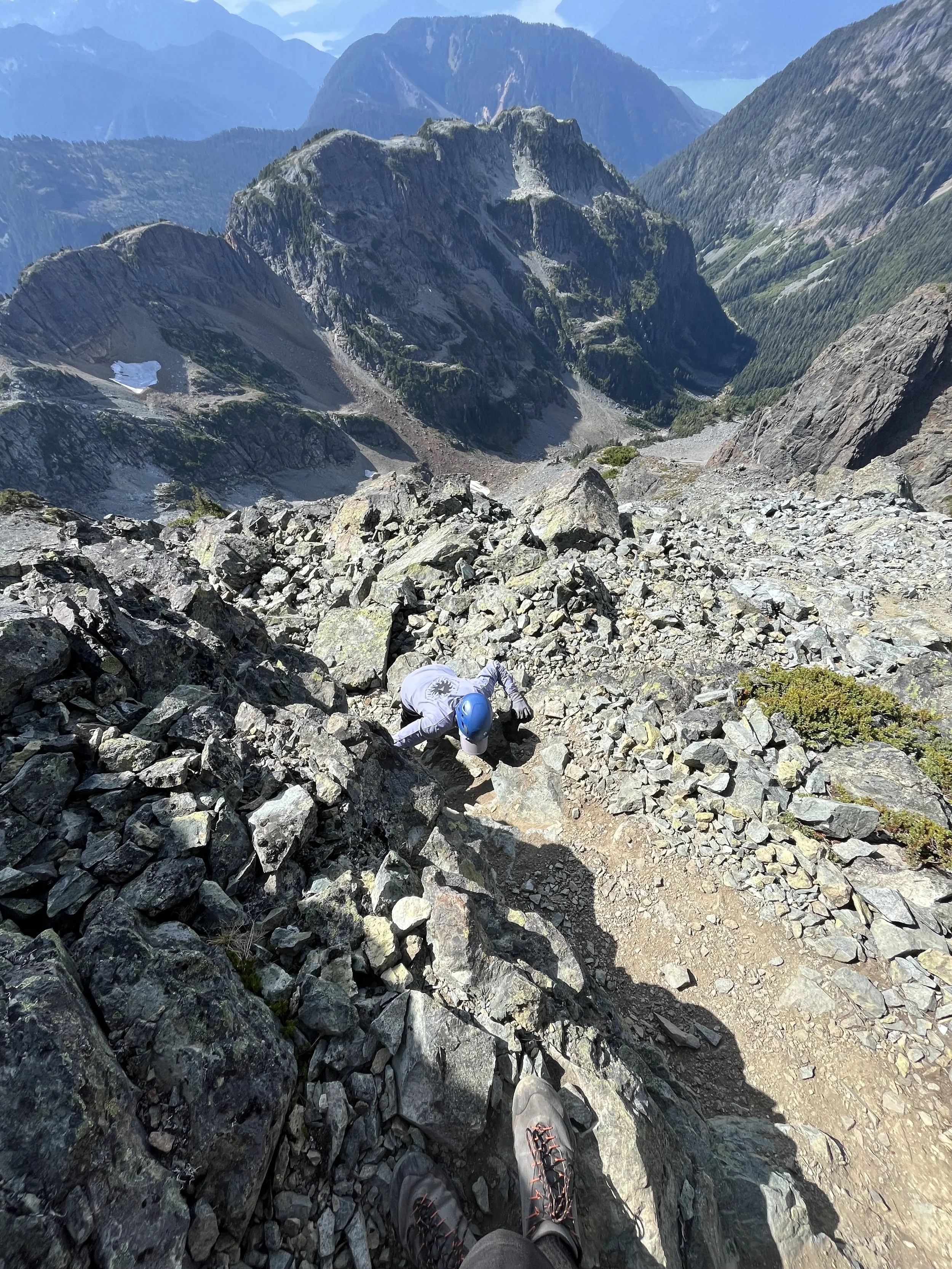
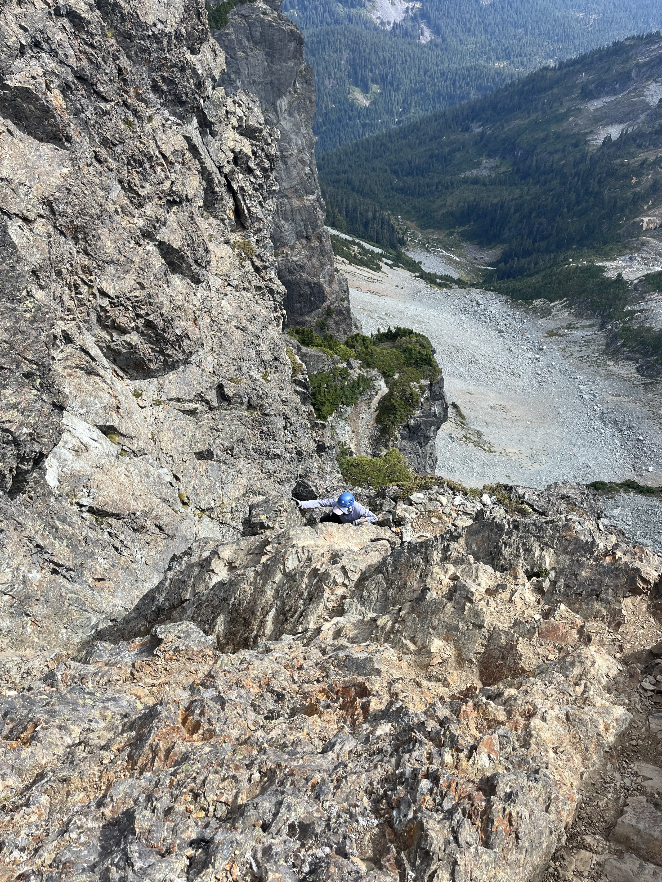
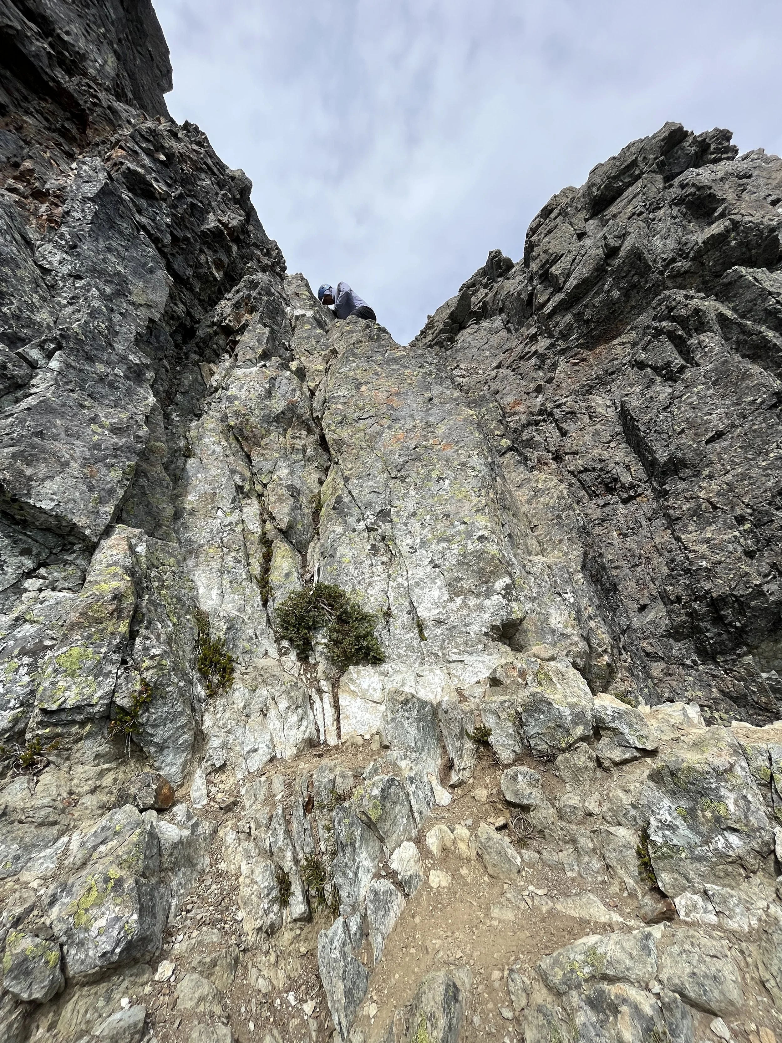
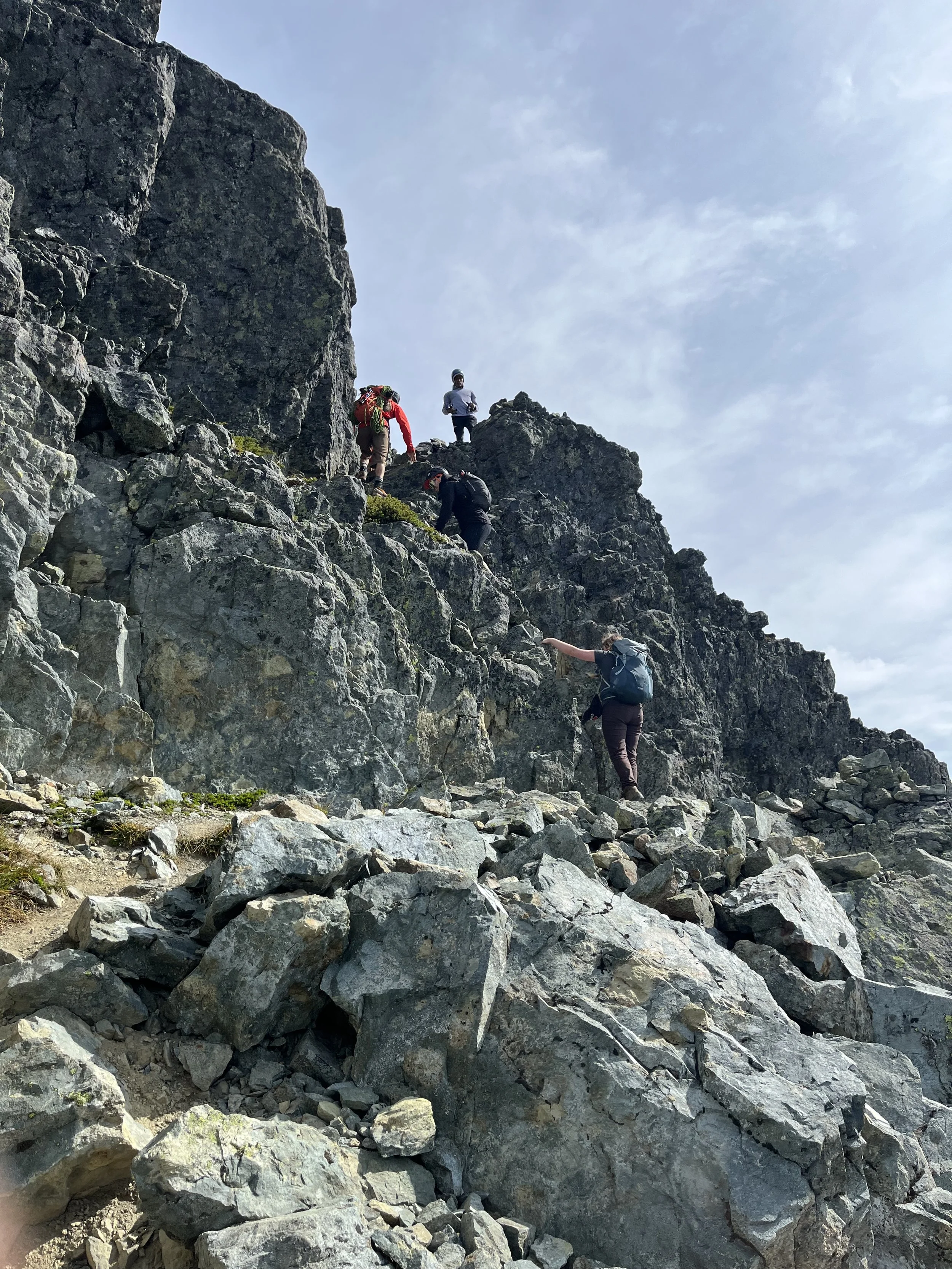
Second Crux is up this gully
We were soon met with the second Crux of the day — the 20m gully. Overall it was a very fun experience with only one move at the start that was a little awkward as there wasn’t a good foot hole.
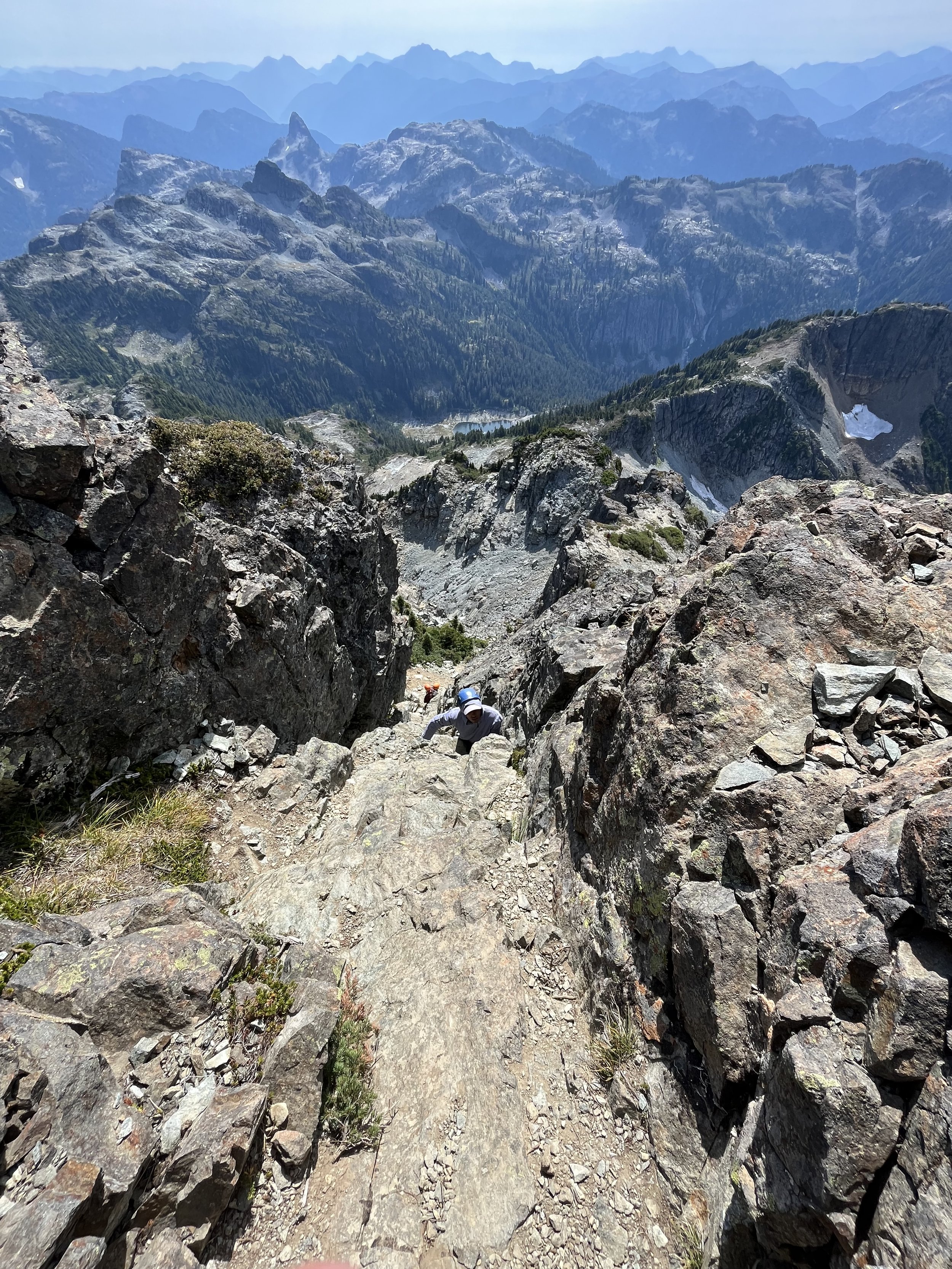
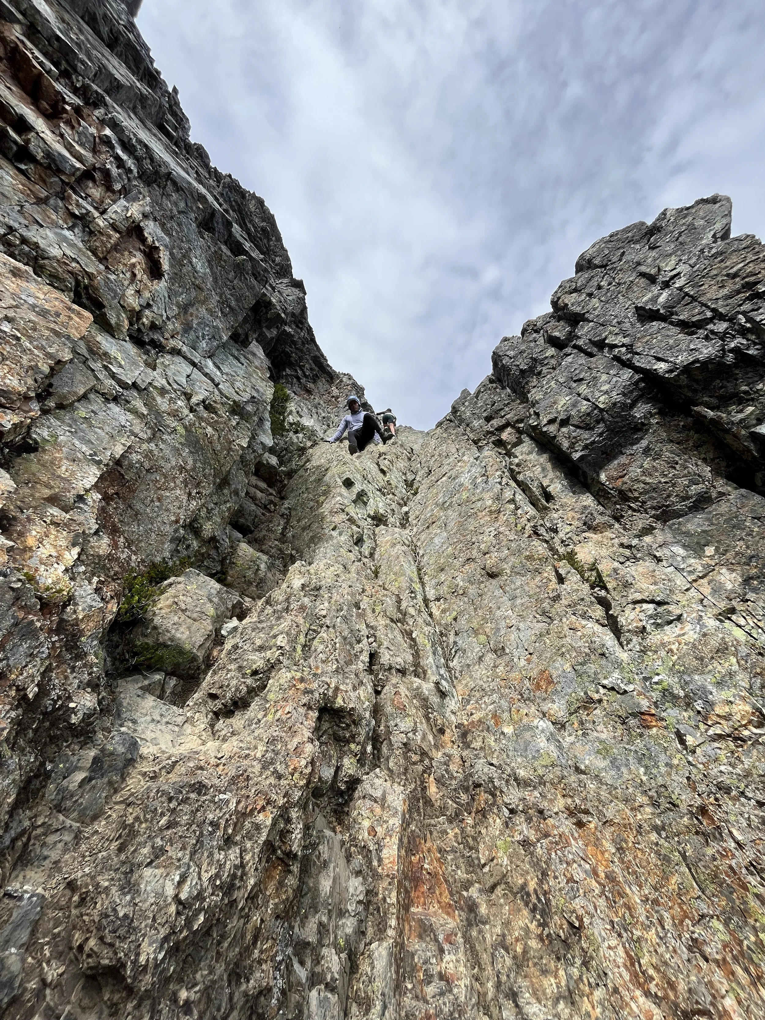
Kraig coming up the gully with another group coming up behind, bringing a helmet was definitely a good idea here. The mountain ranges in the background looks insane!
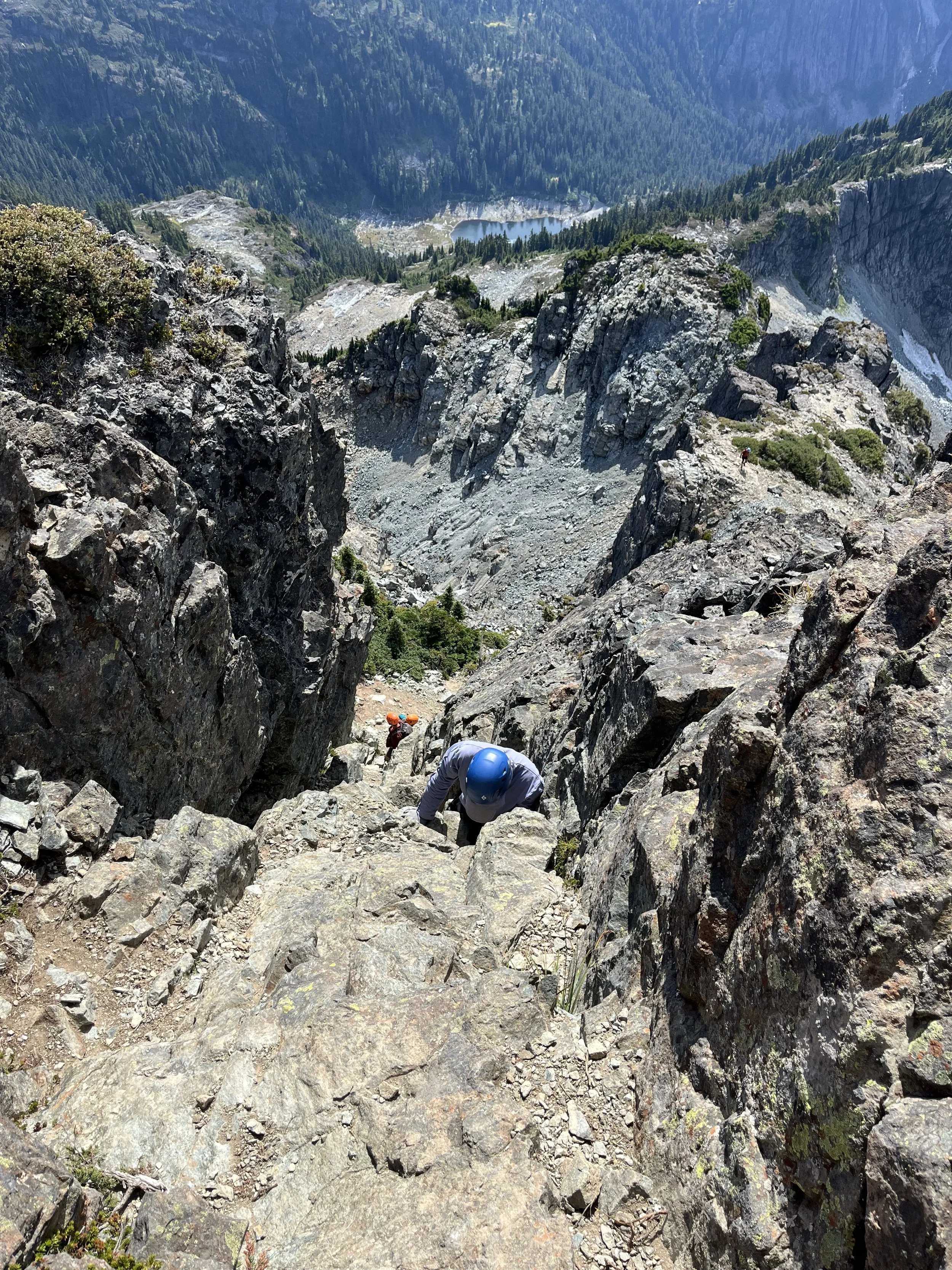
The mountains go forever in the background
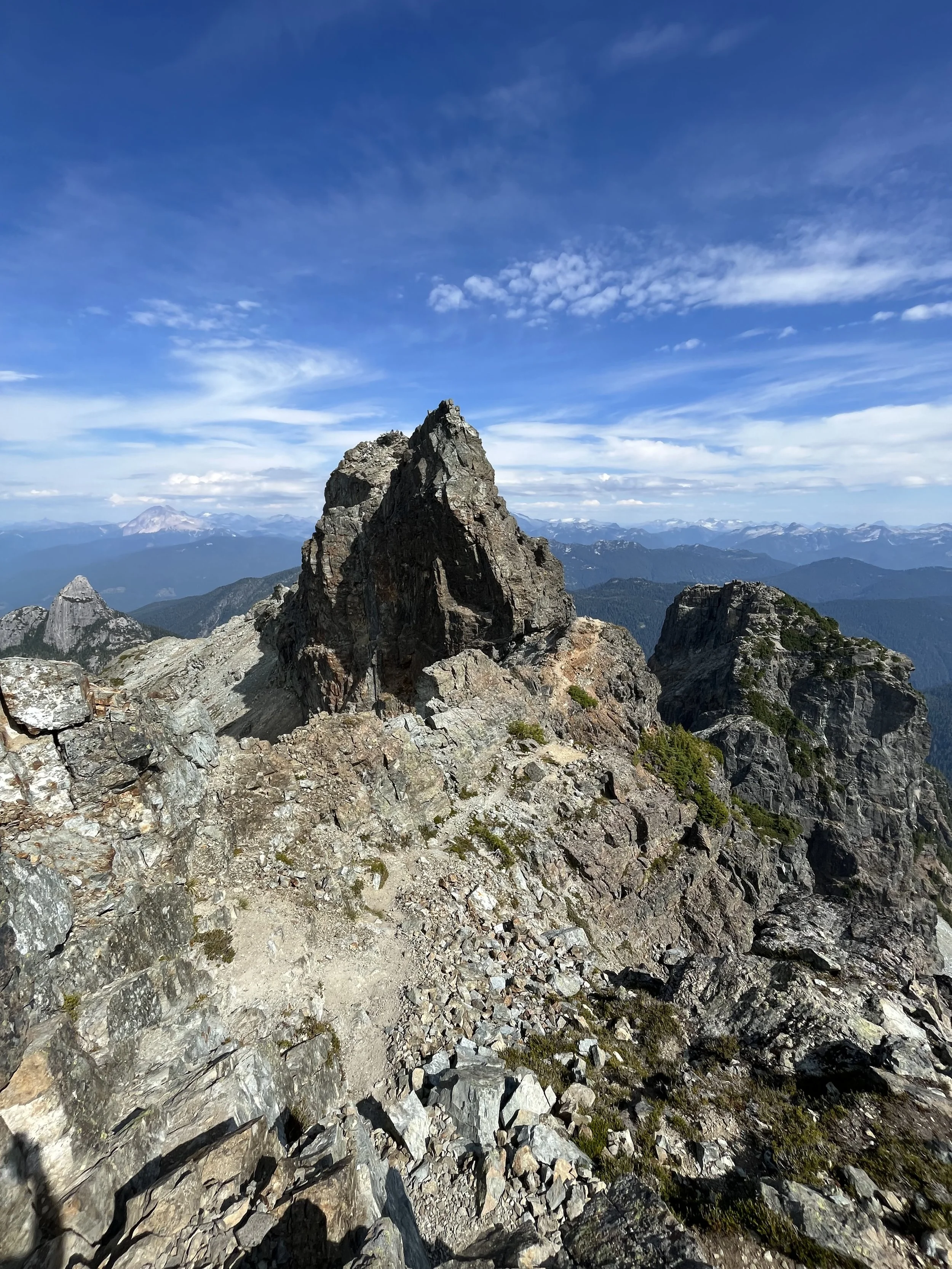
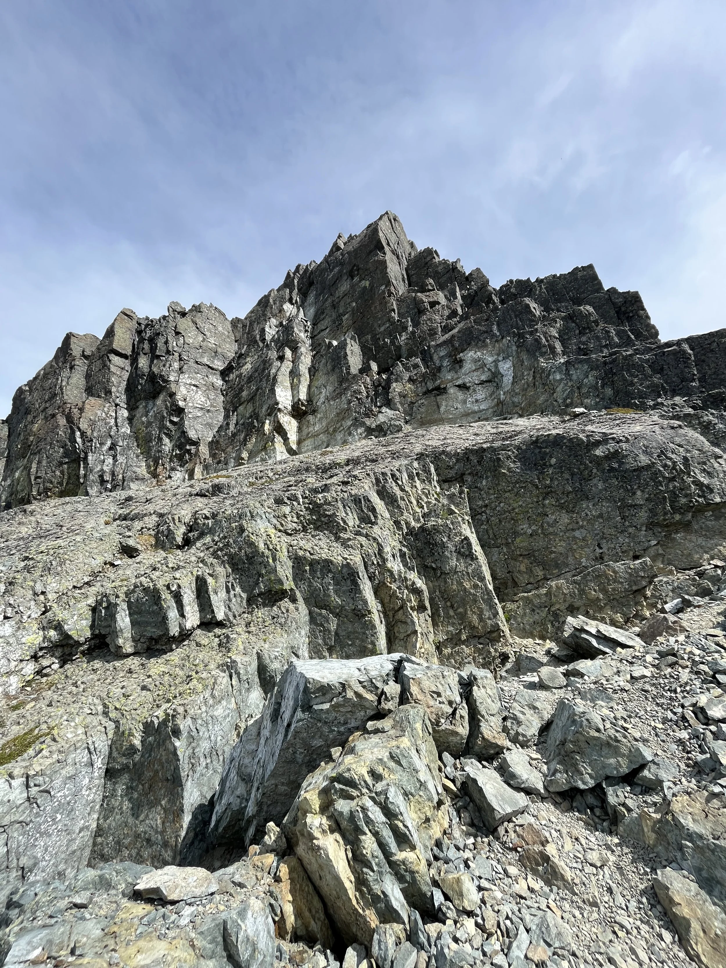
Topping up on the false summit, looking at the real summit, the route is around climber’s right and up another gully. Mount Garibaldi to the left
Someone camped here???
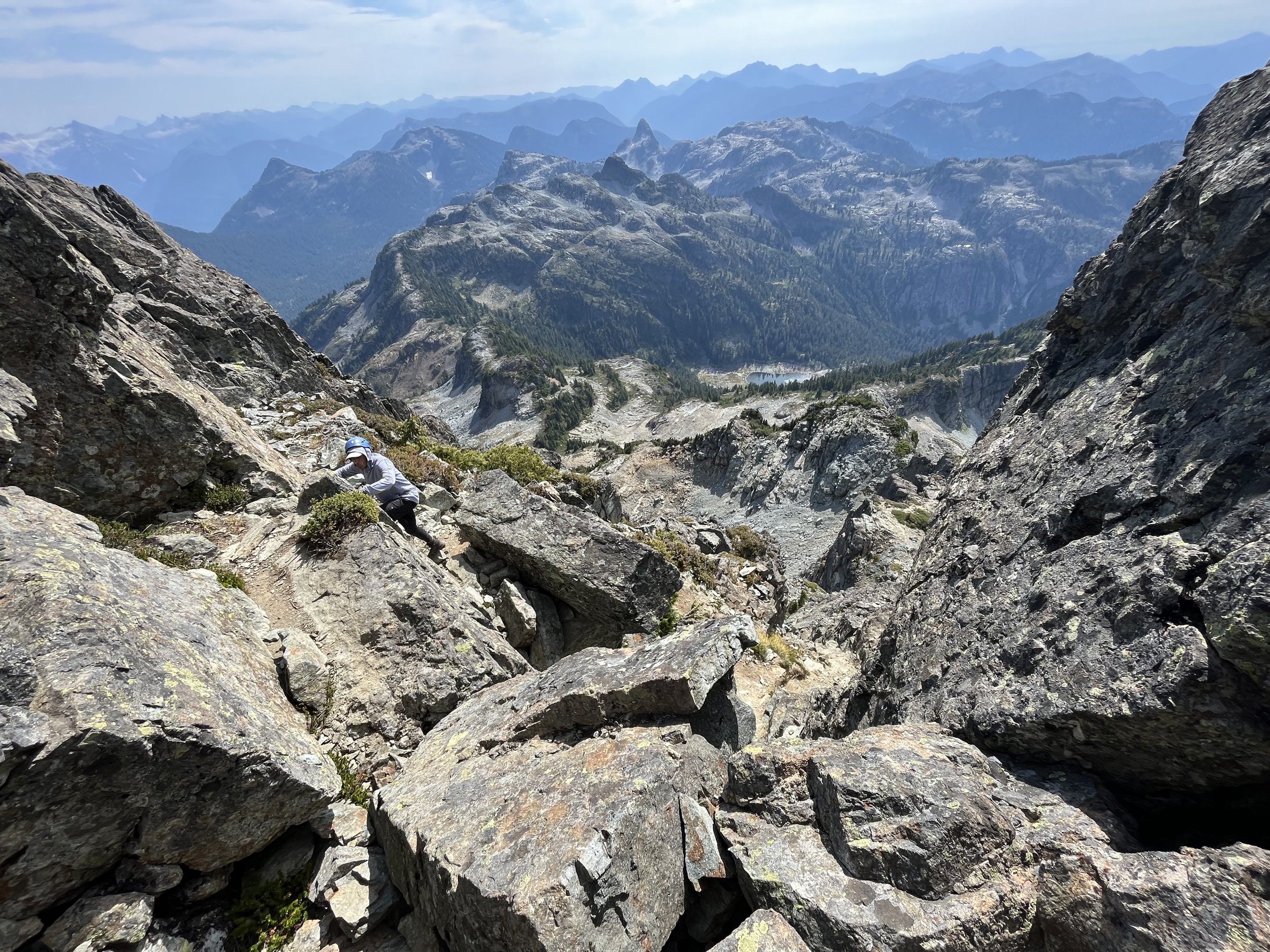
Looking back at the exposed traverse
Squeezing through some trees and here we found ourselves below the last crux gully. This is the most exposed one and I was thankful that the trees blocked the sheer drop below my feet since I am slightly scared of heights. Comparing to the previous gully this one had more good holds but the exposure was definitely more severe.
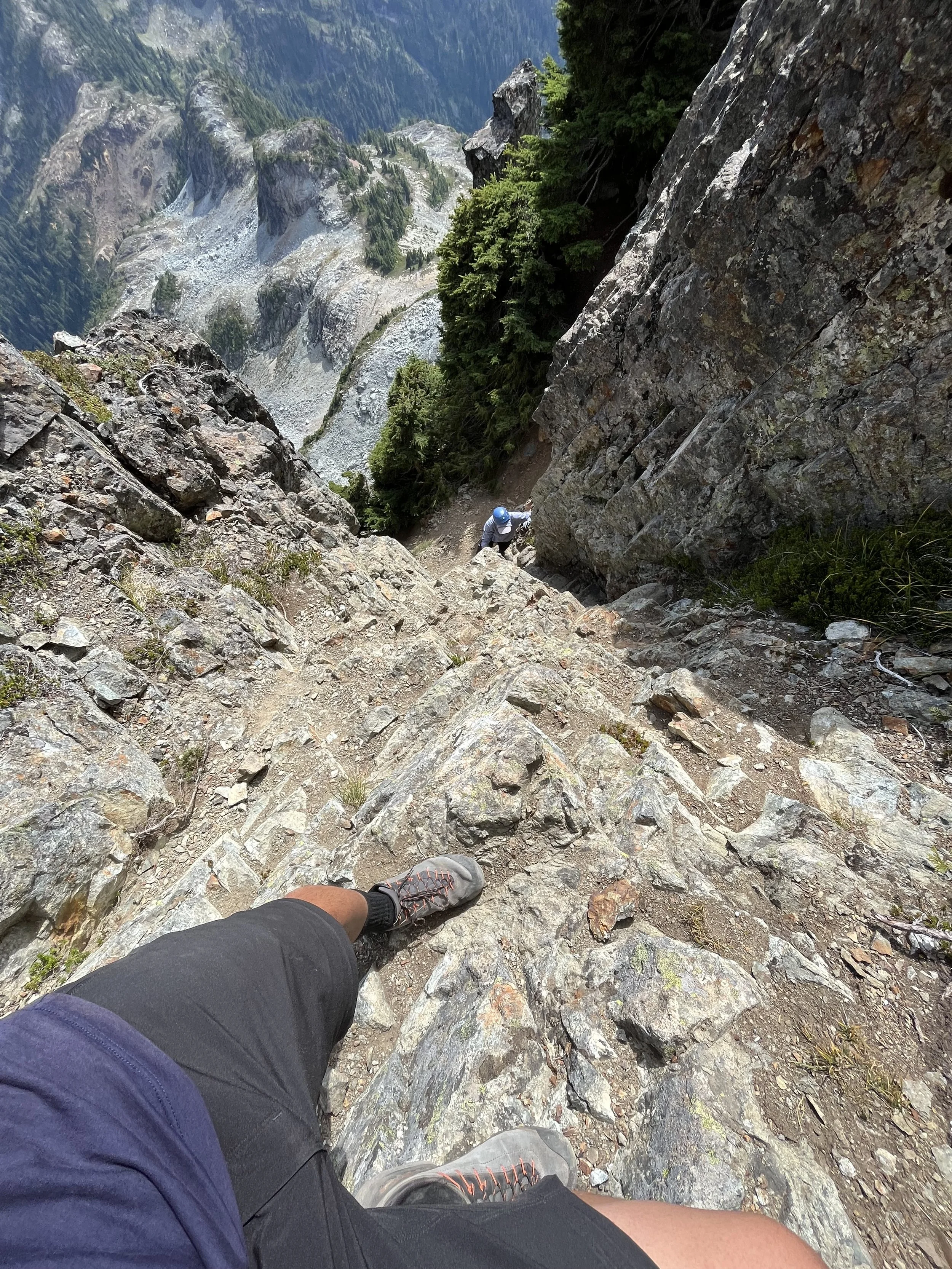
half way up the last gully, looking down… Thank god the trees are there so I can’t see the cliff.
Last section of the gully, coming around to a more exposed part with a cliff just half a meter to the left
Final stretch! Looking back at the route we just came up.
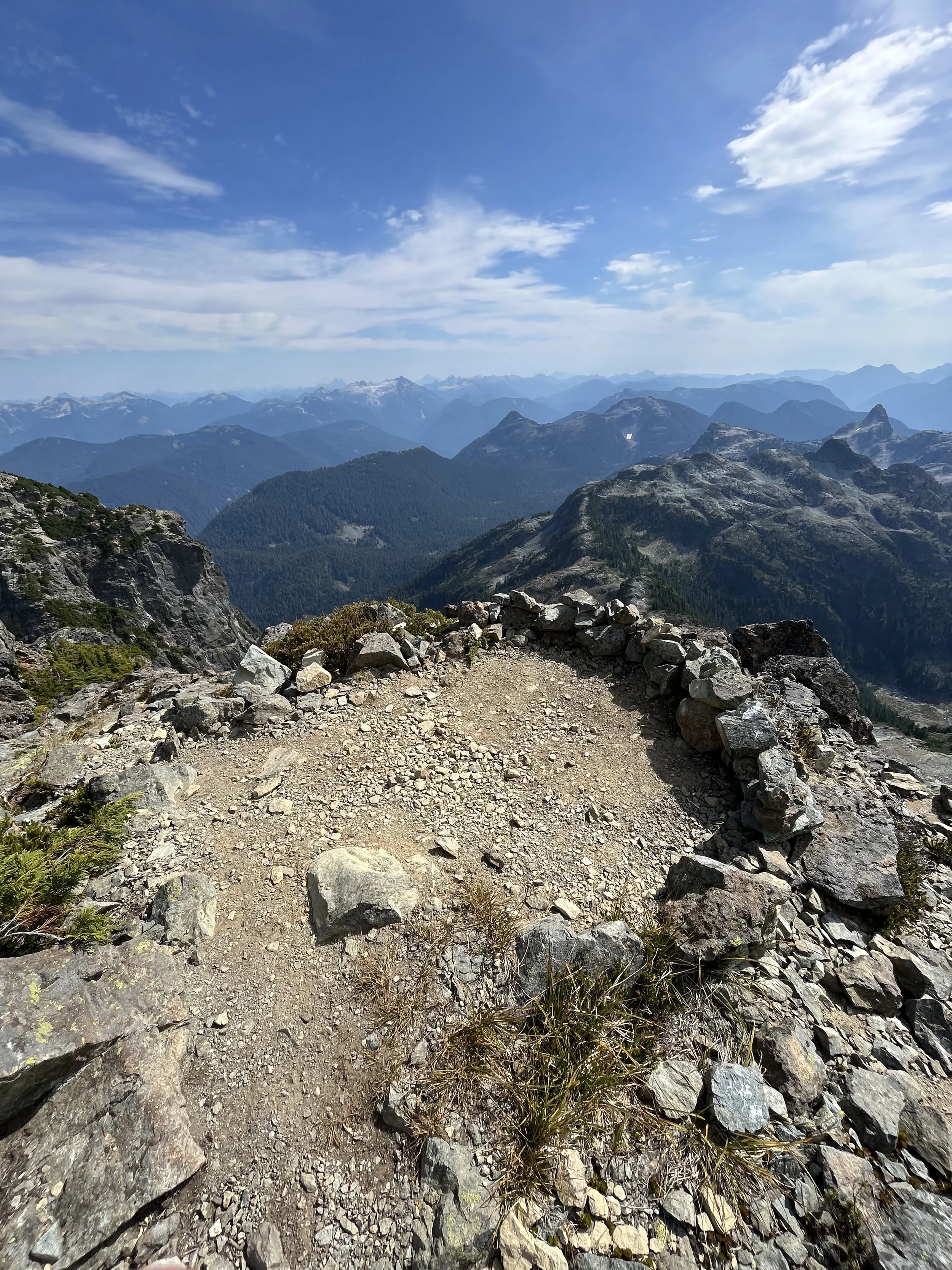
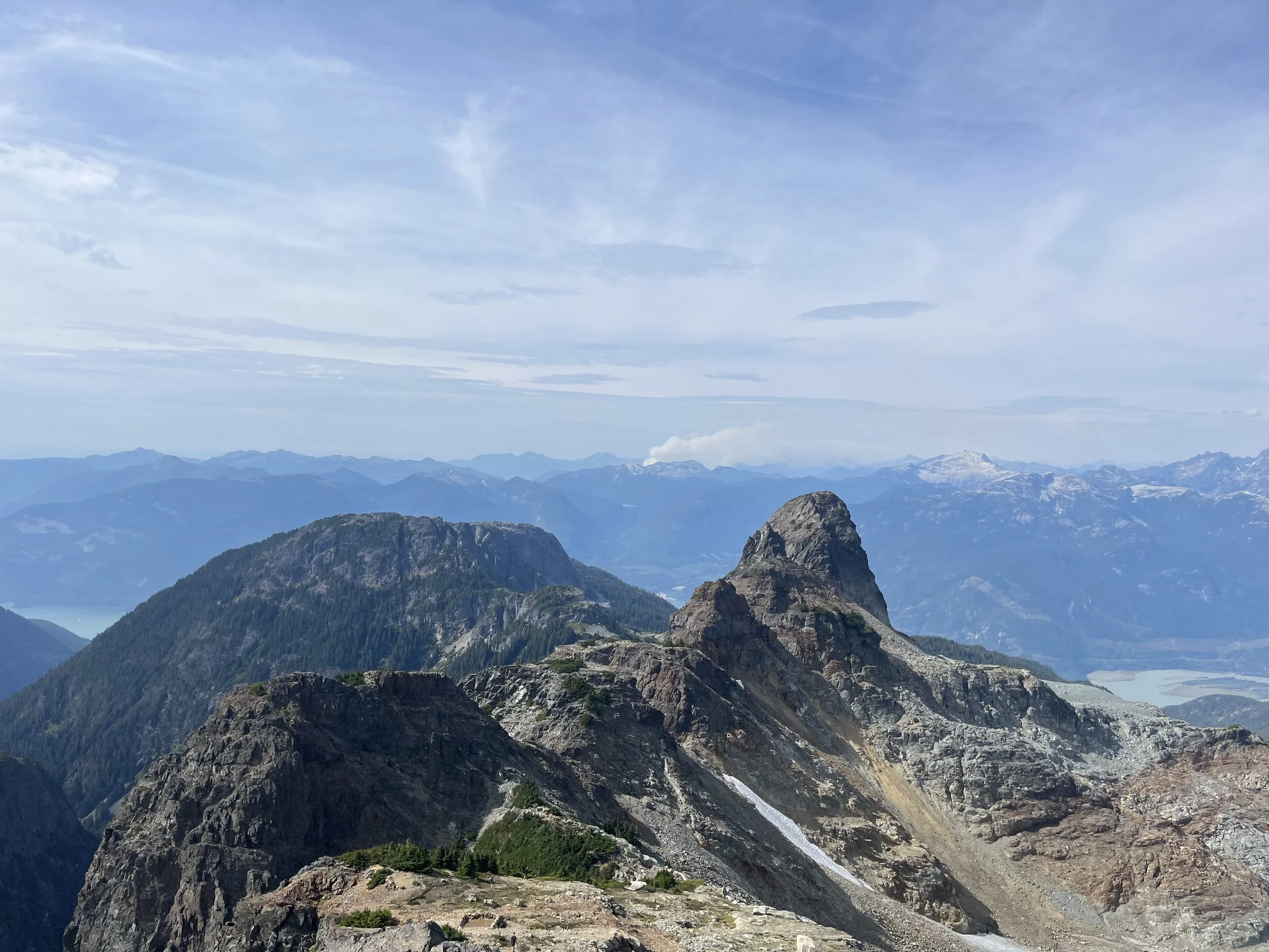
After another 3 minutes we were at the summit. The wind was howling and I almost got blown out of balance. It was also chilly as I was in shorts and a t shirt. It was a rookie mistake not bringing a layer up with me. The views on top was expansive and I could recognize some iconic peaks including the Black Tusk, Mamquam Mountain, Mount Garibaldi, Mount Judge Howay and the Lions. The mountains are infinite and seemed to go on forever. We also spotted some new forest fire just not far away from Squamish.
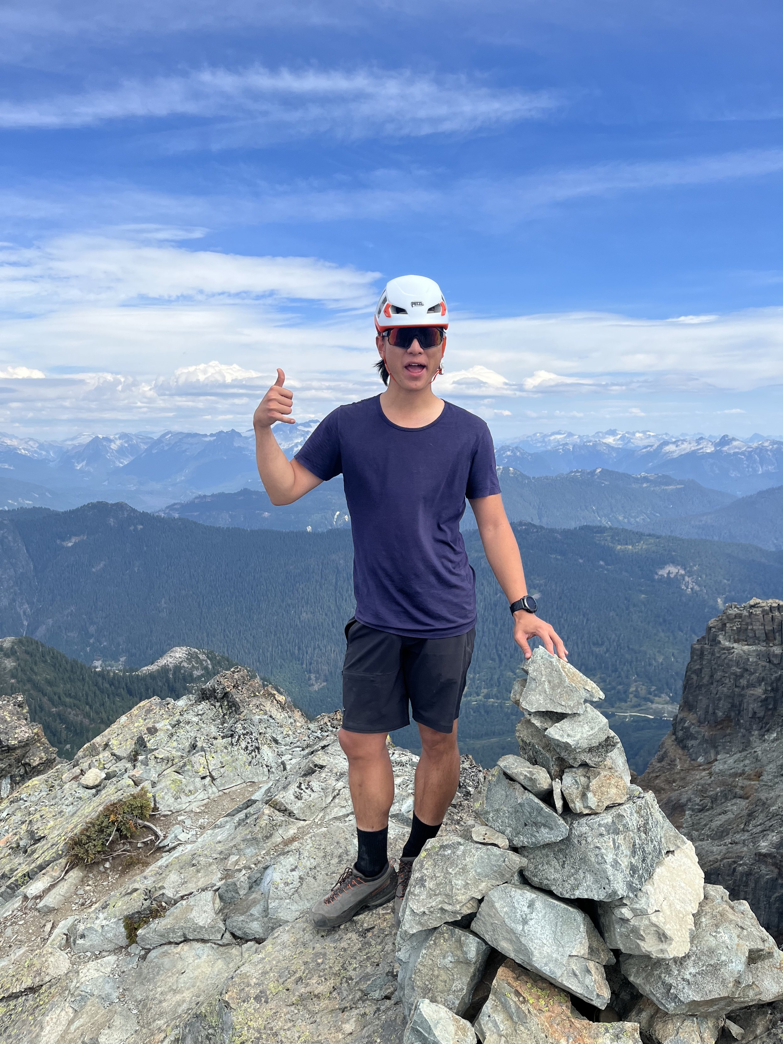
Me on the summit of Sky Pilot
Mount Habrich (looks small now), Mount Garibaldi far away and Mamquam Mountain to the right. The Black Tusk is also visible in a distance(left).
Looking east
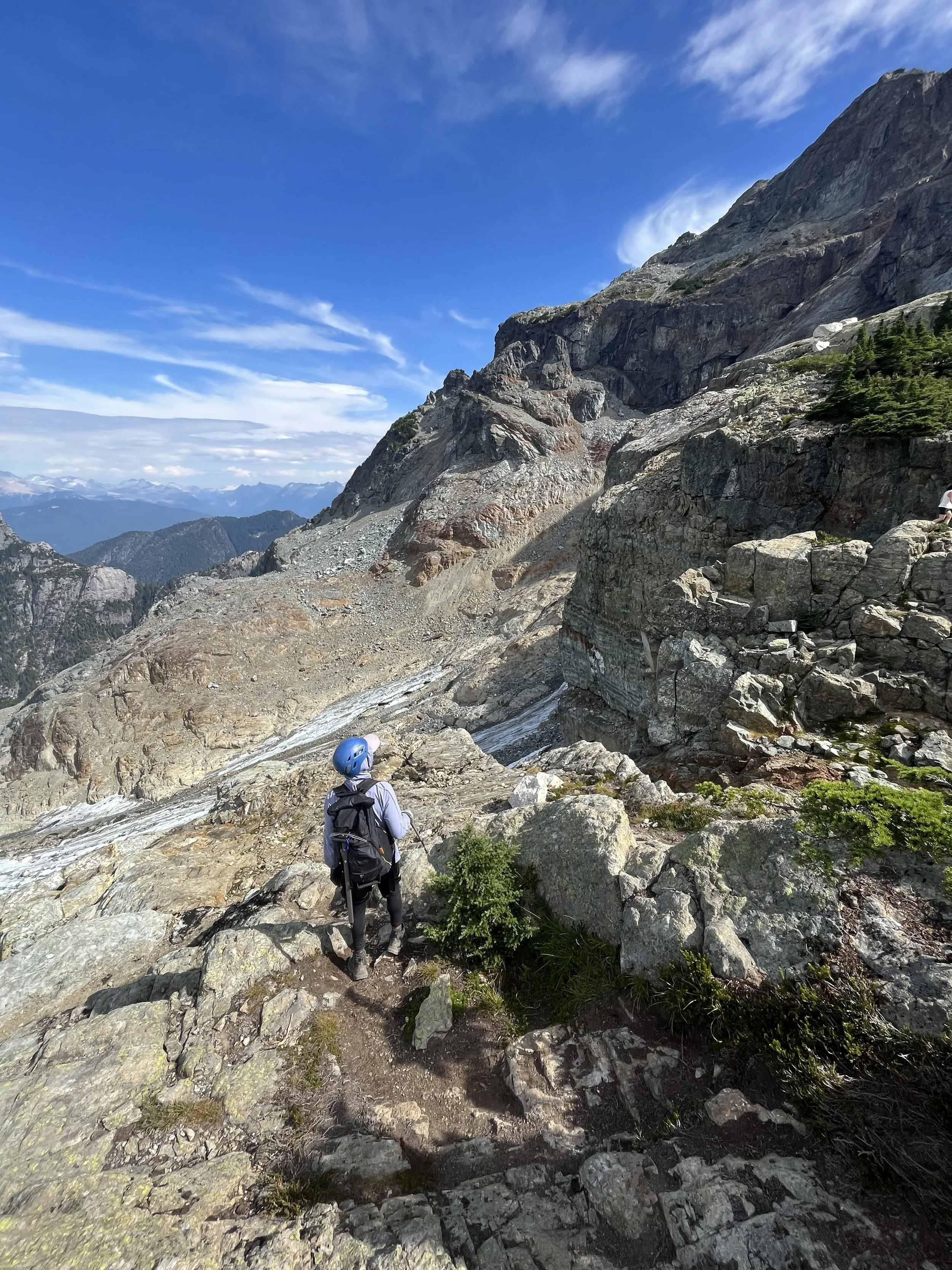
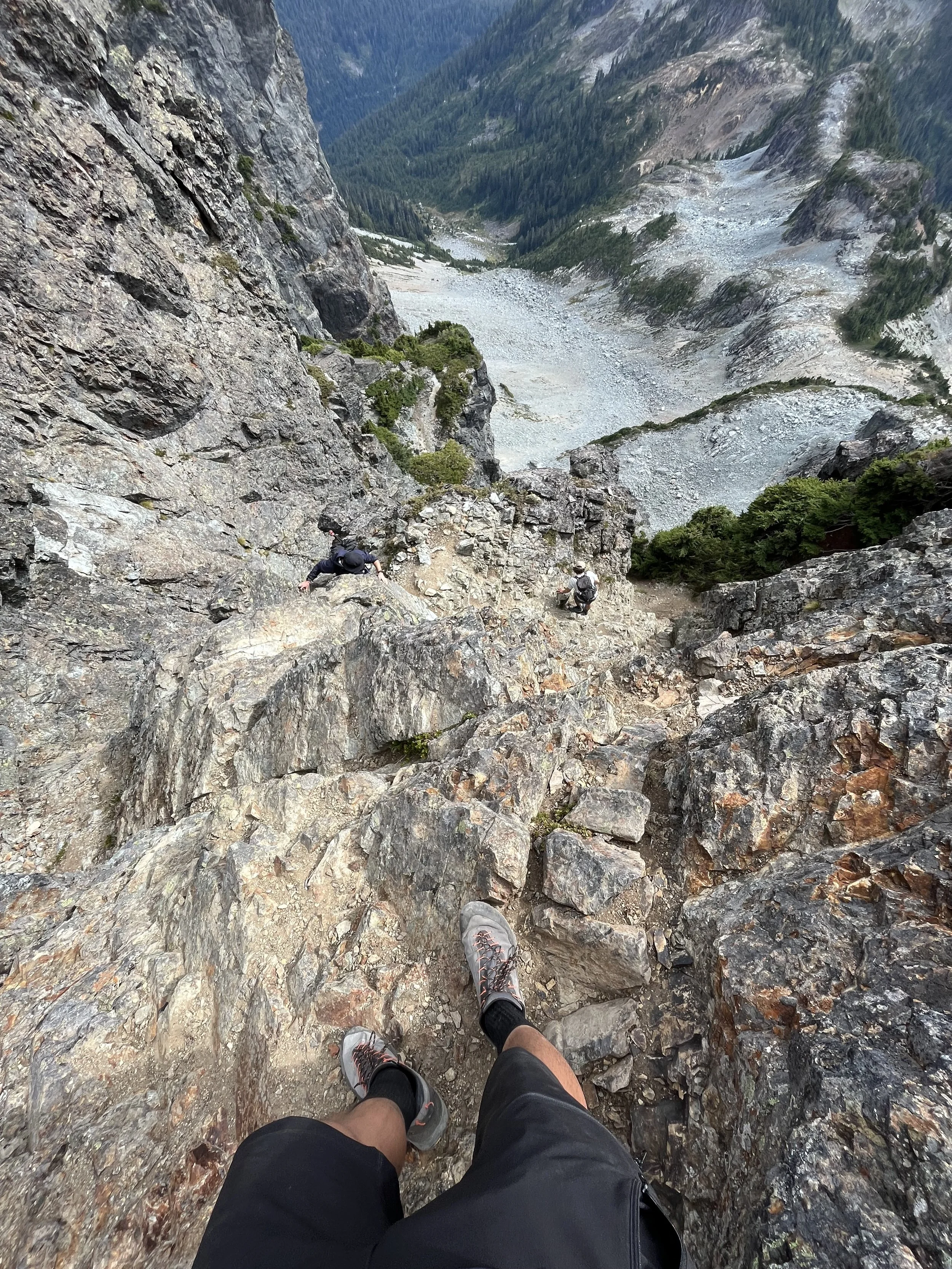
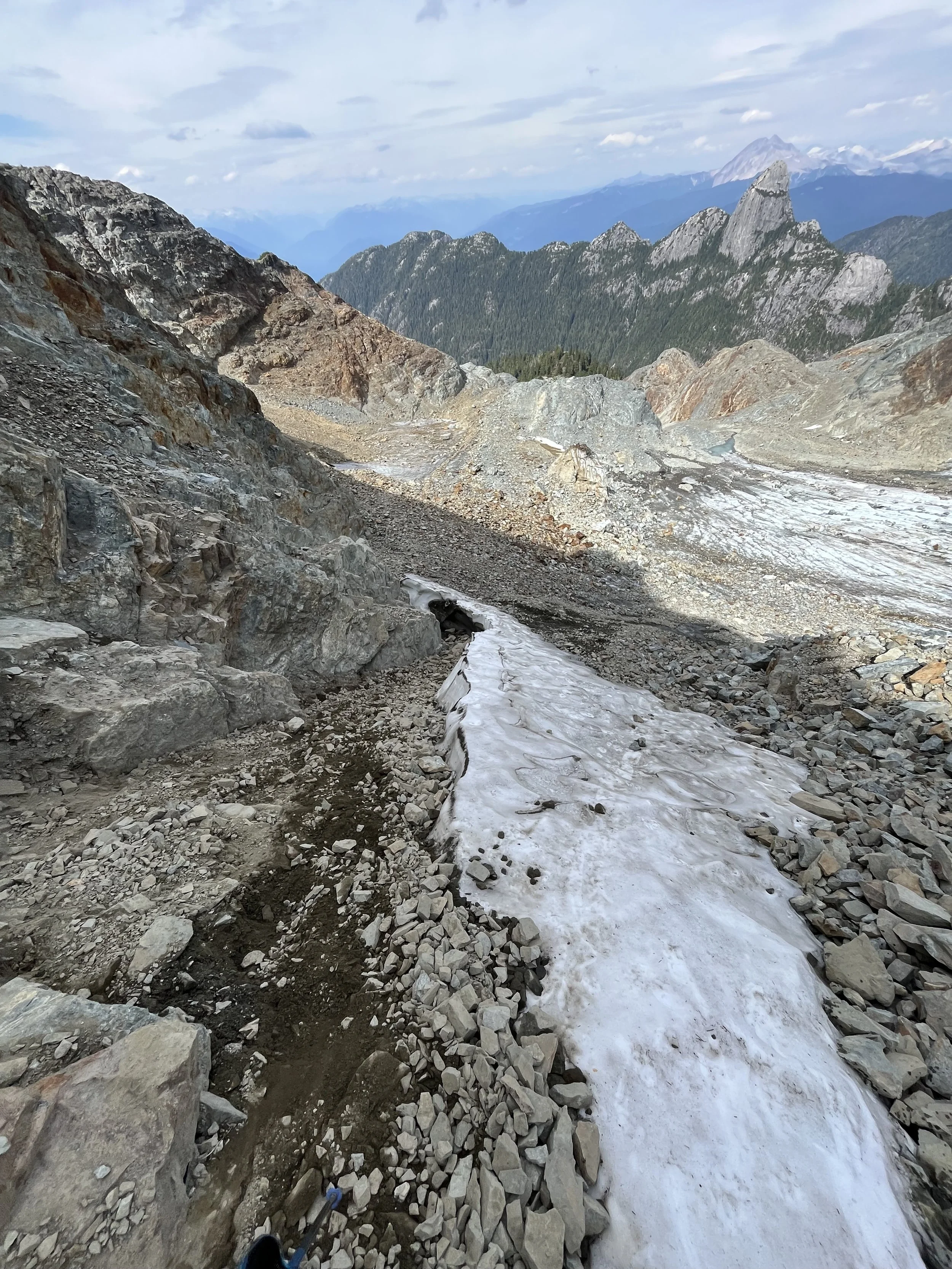
Looking backdown at Stadium Glacier, still have to go down on those loose rocks.. Co-pilot also looks small from and Squamish looks so far away.
I was cold and it was a long and complicated way down so we set off again quickly and started the downclimb. Compared to down-climbing the gully and the pink slab I was more concerned about going down the glacier scree-slope as I didn’t want to trigger any rock falls.
Going down looks much trickier
Descending was definitely more scary than coming up as you have lean out and look at where you put your feet
Kraig climbing down
Looking back up at the gully
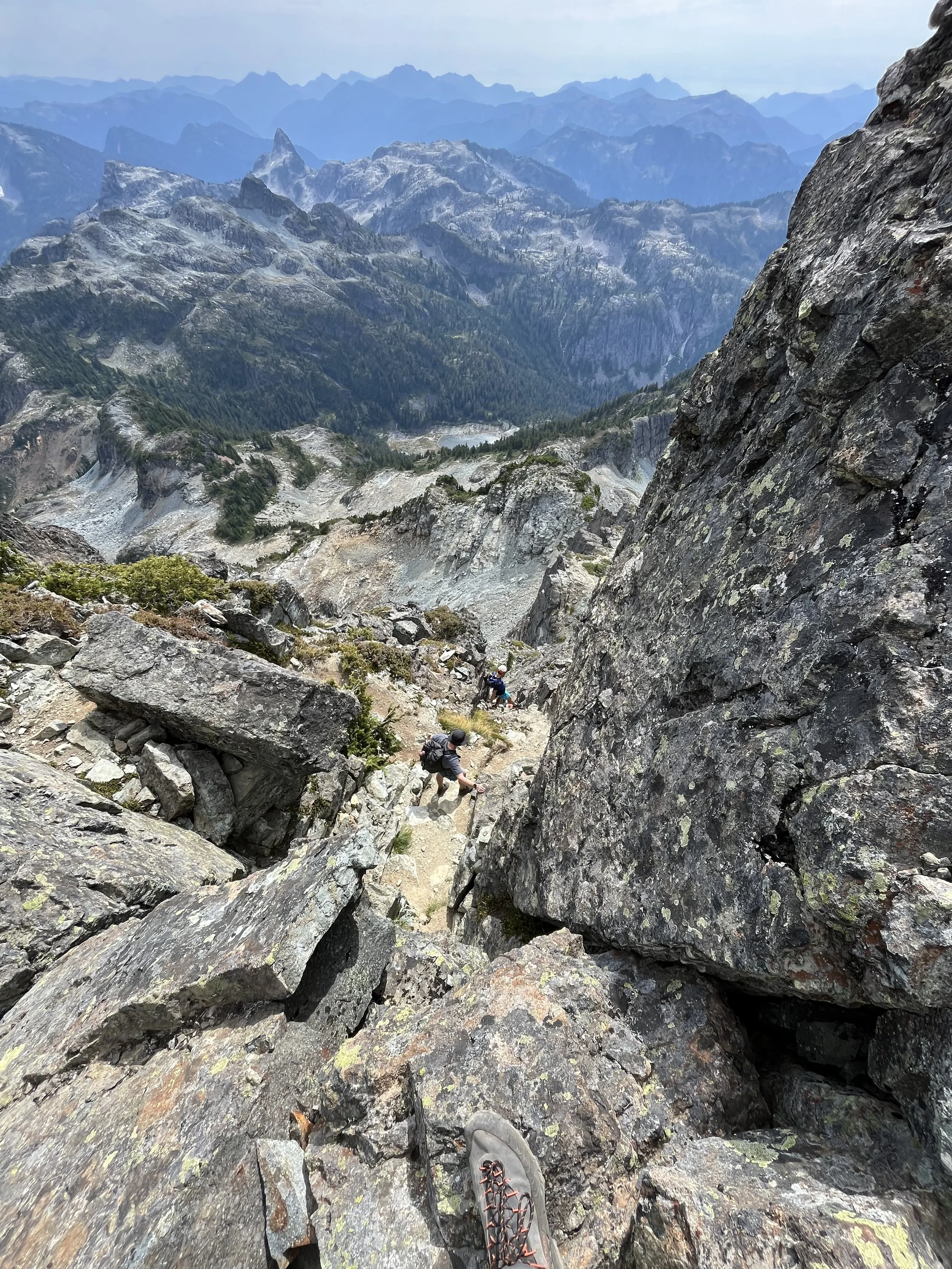
Another group descending in front of us. I was scared of kicking off loose rocks.
Down the final gully, it’s not over yet..
Another group going up
Almost down on top of the pink slab, looking back
Spotted forest fire
Everyone made it down alive and well
Down-climbing the pink slab was actually not as sketchy as I imagined (probably also because things are always so much worse in my imagination). But careful feet placement was definitely needed and there were good friction between the rocks and my shoes so I felt quite secured. Make sure you stay to the left or you will be met with hundreds of meters of exposure.
Looking back at the peak and the pink slab, now it’s time to descend the loose scree above the glacier — the part that I was most nervous about
Everything was moving, I was sliding all over the place and the fact there was a big cliff just below us definitely didn’t help
Made it to the edge of the glacier. If there is a hell it’ll be walking down this scree slope for an eternity.
The loose scree was just as bad as I had imagined if not worse. I tried to stay on the boulders and avoid smaller rocks but the boulders were shifting under my weight. I was terrified that maybe one will just take me down with it. My shoes were filled with small rocks and sand. I slipped twice and one time my ankle was jammed between two boulders and my butt was scratched and bruised. It was such an annoying process I got to the point of laughing at my misery. After an eternity we made it to the bottom of the glacier and I tried to forget what just happened.
After a short break we plunged downhill and got back to the logging road in an hour. The logging road was endless. Me and Kraig thought the next turn will be the gondola for at least 20 times but it just kept going forever. Somehow walking on the flats felt so much worse than walking uphill at the end of the day. We started talking about food and what we’re gonna eat afterward but the only thing I wanted was an iced coke and some ibuprofen.
I didn’t know how many years had passed but we made it back to the gondola and met up again with Linda, Ellen and June. I was very greatful that they waited and we talked about the climb. They decided that they would come back again earlier in the summer time when there would still be enough snow.
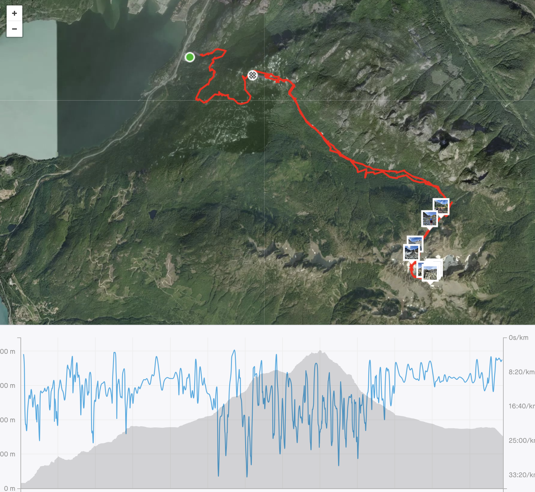
Ended with 26km and 2400m of elevation gain
It was satisfying to tick this one off the list. To me it felt like more of a mental challenge than a physical one(not saying it’s not physically demanding). The route-finding was definitely the hardest part of the trip and I was glad that someone else knew the way. The condition of the glacier was shocking so for those who want to attempt this: do it in July or early August when there is still enough snow. There was a little bit of everything: long slog in the trees, logging roads, loose scree, glacier crossing and scrambling at the end. It is definitely one of my favourites and I will definitely come back and do it again.
Lastly, a big thank you to everyone in the group. It’s nice to bag a peak but hanging out with awesome people is definitely the most fun part.